


8.5 km | 10.6 km-effort
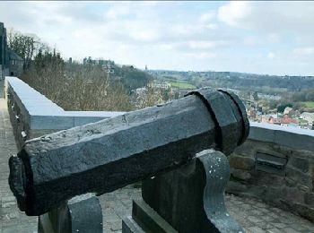
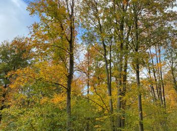
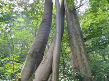
Gerpinnes: Discover the best trails: 523 hiking trails, 73 bike and mountain-bike routes and 5 equestrian circuits. All these trails, routes and outdoor activities are available in our SityTrail applications for smartphones and tablets.

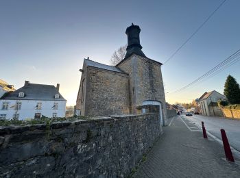
Walking


• Details de la rando sur TraceGPS.com http://www.tracegps.com/fr/parcours/circuit3354.htm
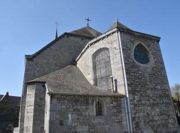
Walking
• Thuin – Lobbes – Hourpes – Abbaye d’Aulne – Thuin Si la Sambre n’a pas la séduction des rivières ardennaises, la v...

Walking
• Thuin – Lobbes – Hourpes – Abbaye d’Aulne – Thuin Si la Sambre n’a pas la séduction des rivières ardennaises, la ver...
Walking

Walking
Walking
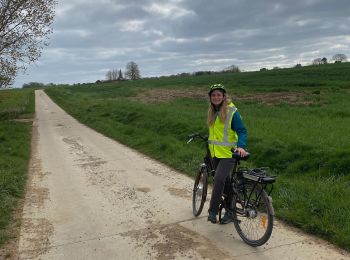
Road bike
Walking
• Details de la rando sur TraceGPS.com http://www.tracegps.com/fr/parcours/circuit2254.htm
Walking
• Details de la rando sur TraceGPS.com http://www.tracegps.com/fr/parcours/circuit2340.htm
Walking
• Details de la rando sur TraceGPS.com http://www.tracegps.com/fr/parcours/circuit3383.htm
Walking

Walking
Walking
Walking
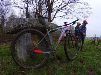
Mountain bike
Mountain bike
Walking
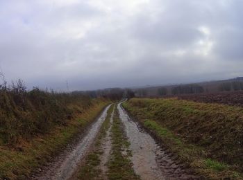
Mountain bike
Mountain bike
Walking
20 trails displayed on 465
FREE GPS app for hiking
 SityTrail
IGN / Geographical institutes
SityTrail World
The world is yours!