


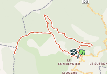

12.5 km | 20 km-effort


User


FREE GPS app for hiking
 SityTrail
IGN / Geographical institutes
SityTrail World
The world is yours!
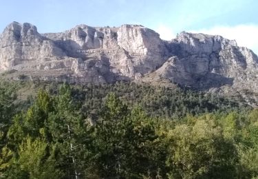
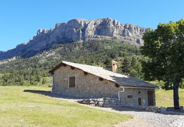
Trail Walking of 12.3 km to be discovered at Provence-Alpes-Côte d'Azur, Alpes-de-Haute-Provence, Le Castellard-Mélan. This trail is proposed by claude nier.
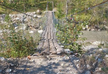
rendo sympa faite il y a 7 ans avec 3 potes...on a bien rigole
A refaire...pas avec les meme corbeaux...dommage
Walking

Walking

Walking

Walking
Walking
Walking

Walking
Walking
Walking