


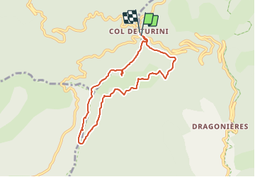

14.5 km | 25 km-effort

User


FREE GPS app for hiking
 SityTrail
IGN / Geographical institutes
SityTrail World
The world is yours!
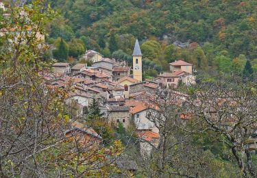
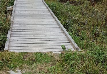
Trail Walking of 7.8 km to be discovered at Provence-Alpes-Côte d'Azur, Maritime Alps, Moulinet. This trail is proposed by patsure.
Randoxygene
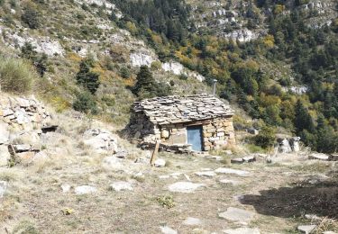
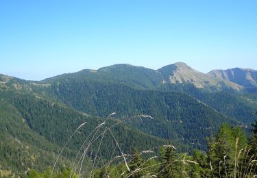
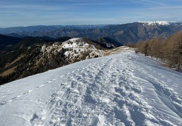
2h15, en majorité sous couvert des sapins donc faisable même en été.
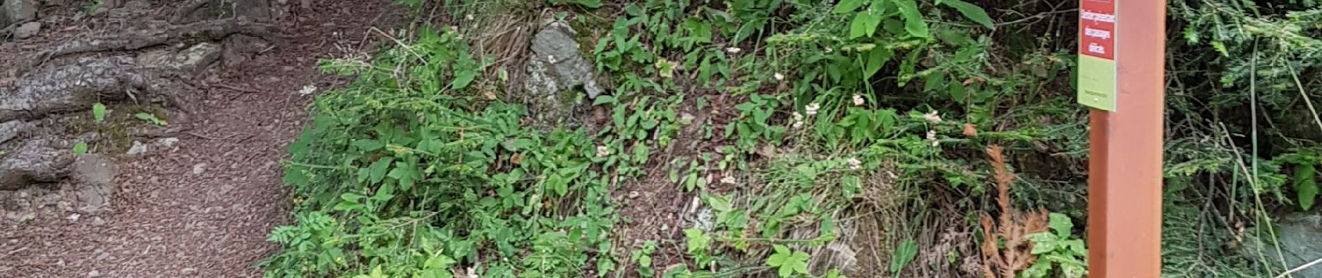
sur le retour, lespassages délicats mentionnés sur la balise 181 ne sont pas durs.


Walking

On foot

On foot
On foot
Snowshoes
Walking
On foot
Walking
Walking