


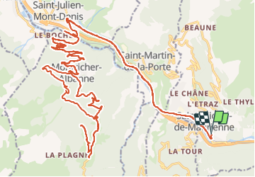

13.6 km | 29 km-effort

User GUIDE


FREE GPS app for hiking
 SityTrail
IGN / Geographical institutes
SityTrail World
The world is yours!
Trail Road bike of 51 km to be discovered at Auvergne-Rhône-Alpes, Savoy, Saint-Michel-de-Maurienne. This trail is proposed by nadd73.
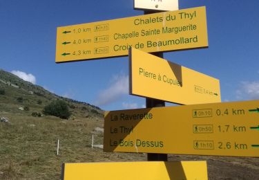
Départ de St Michel de Maurienne. J'étais au lac à 2h10 et 26km.
je mets ceci c'est pour moi perso, merci de ne pas prendre compte du temps.
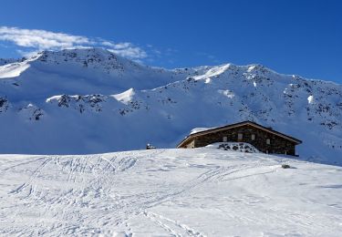
Très joli petit lac avec WC et tables.

Walking
Touring skiing
Walking
Walking
Snowshoes
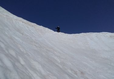
Touring skiing
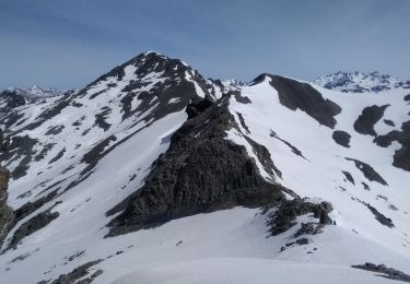
Touring skiing

Walking
Snowshoes