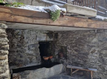
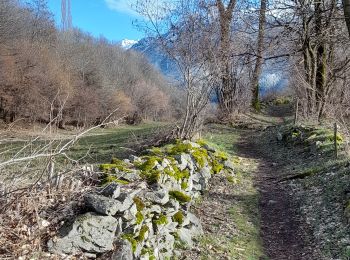
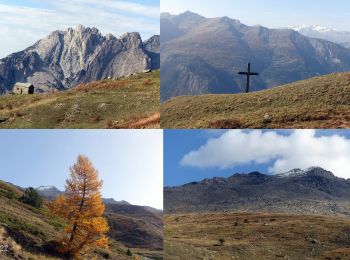
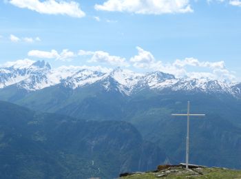
Saint-Michel-de-Maurienne, Savoy: Best trails, routes and walks

3 comments

Saint-Michel-de-Maurienne: Discover the best trails: 28 hiking trails and 14 bike and mountain-bike routes. All these trails, routes and outdoor activities are available in our SityTrail applications for smartphones and tablets.


The best trails (47)
Trail Touring skiing Saint-Michel-de-Maurienne - Col de la vallée étroite  - Photo
Touring skiing 12.606
Km
GUIDE

Touring skiing

Easy
Saint-Michel-de-Maurienne, Auvergne-Rhône-Alpes, Savoy, France
12.6 km | 30 km-effort
4h 7min
1315 m
1312 m
Yes
nadd73

Trail Walking Saint-Michel-de-Maurienne - Le Thyl, pré Bérard - Photo
Walking 11.243
Km
GUIDE

Walking

Easy
Saint-Michel-de-Maurienne, Auvergne-Rhône-Alpes, Savoy, France
11.2 km | 25 km-effort
4h 10min
1054 m
1053 m
Yes
nadd73

Trail Touring skiing Saint-Michel-de-Maurienne - sous le petit perron des encombres - Photo
Touring skiing 68.045
Km
GUIDE

Touring skiing

Medium
Saint-Michel-de-Maurienne, Auvergne-Rhône-Alpes, Savoy, France
68 km | 181 km-effort
6h 45min
8246 m
9293 m
No
nadd73

Trail Road bike Saint-Michel-de-Maurienne - col d'albanne et lac de Pramol - Photo
Road bike 51.467
Km
GUIDE

Road bike

Difficult
Saint-Michel-de-Maurienne, Auvergne-Rhône-Alpes, Savoy, France
51 km | 71 km-effort
4h 32min
1480 m
1479 m
Yes
nadd73

Trail Mountain bike Saint-Michel-de-Maurienne - Circuit découverte des 3 hameaux  - Photo
Mountain bike 13.399
Km

Mountain bike

Saint-Michel-de-Maurienne, Auvergne-Rhône-Alpes, Savoy, France
13.4 km | 0 m-effort
1h 30min
0 m
0 m
Yes
les cheminsdetraversaz

Trail Walking Saint-Michel-de-Maurienne - à la découverte du petit village du Thyl. - Photo
Walking 0.924
Km

Walking

Easy
Saint-Michel-de-Maurienne, Auvergne-Rhône-Alpes, Savoy, France
924 m | 1.5 km-effort
37min
44 m
47 m
Yes
fizz1212

Trail Walking Saint-Michel-de-Maurienne - St Michel de Maurienne - Le Pas du Roc - Photo
Walking 10.328
Km

Walking

Difficult
Saint-Michel-de-Maurienne, Auvergne-Rhône-Alpes, Savoy, France
10.3 km | 16.4 km-effort
3h 21min
455 m
460 m
Yes
damien7307

Trail Walking Saint-Michel-de-Maurienne - Croix de Bellecombe-2022-10-28 - Photo
Walking 9.761
Km

Walking

Easy
Saint-Michel-de-Maurienne, Auvergne-Rhône-Alpes, Savoy, France
9.8 km | 17.6 km-effort
4h 0min
592 m
589 m
Yes
Valmeinier

Trail On foot Saint-Michel-de-Maurienne - Le Thyl la Croix de Beaumollard - Photo
On foot 14.574
Km

On foot

Medium
Saint-Michel-de-Maurienne, Auvergne-Rhône-Alpes, Savoy, France
14.6 km | 27 km-effort
5h 0min
930 m
930 m
Yes
yves12

Trail Walking Saint-Michel-de-Maurienne - St Marguerite depuis La Traversaz  - Photo
Walking 7.914
Km

Walking

Difficult
Saint-Michel-de-Maurienne, Auvergne-Rhône-Alpes, Savoy, France
7.9 km | 17.1 km-effort
2h 37min
688 m
688 m
Yes
les cheminsdetraversaz

Trail Mountain bike Saint-Michel-de-Maurienne - La Traversaz - Photo
Mountain bike 18.468
Km

Mountain bike

Medium
Saint-Michel-de-Maurienne, Auvergne-Rhône-Alpes, Savoy, France
18.5 km | 30 km-effort
1h 0min
837 m
834 m
Yes
phdsyn

Trail Walking Saint-Michel-de-Maurienne - Les Avanières le col de la vallée étroite - Photo
Walking 16.7
Km

Walking

Difficult
Saint-Michel-de-Maurienne, Auvergne-Rhône-Alpes, Savoy, France
16.7 km | 0 m-effort
6h 7min
0 m
0 m
Yes
yves12

Trail Walking Saint-Michel-de-Maurienne - Mont Brequin - Photo
Walking 11.121
Km

Walking

Very difficult
Saint-Michel-de-Maurienne, Auvergne-Rhône-Alpes, Savoy, France
11.1 km | 30 km-effort
4h 30min
1424 m
1427 m
Yes
Gouze13

Trail Walking Saint-Michel-de-Maurienne - Boucle de pétri as - Photo
Walking 5.603
Km

Walking

Easy
Saint-Michel-de-Maurienne, Auvergne-Rhône-Alpes, Savoy, France
5.6 km | 11 km-effort
2h 5min
402 m
400 m
Yes
vmarie12

Trail Walking Saint-Michel-de-Maurienne - A ânières Croix de Bellecombe - Photo
Walking 10.638
Km

Walking

Medium
(1)
Saint-Michel-de-Maurienne, Auvergne-Rhône-Alpes, Savoy, France
10.6 km | 18.5 km-effort
5h 31min
592 m
594 m
Yes
GGsavoie

Trail Snowshoes Saint-Michel-de-Maurienne - Beaune la buffaz - Photo
Snowshoes 5.615
Km

Snowshoes

Medium
Saint-Michel-de-Maurienne, Auvergne-Rhône-Alpes, Savoy, France
5.6 km | 9.8 km-effort
2h 27min
317 m
316 m
Yes
lecmic

Trail Walking Saint-Michel-de-Maurienne - chapelle Ste Marguerite / hélico  - Photo
Walking 12.158
Km

Walking

Medium
Saint-Michel-de-Maurienne, Auvergne-Rhône-Alpes, Savoy, France
12.2 km | 27 km-effort
3h 52min
1122 m
1125 m
Yes
laurentnecca

Trail Snowshoes Saint-Michel-de-Maurienne - Beaune- Les Ra - Photo
Snowshoes 6.934
Km
GUIDE

Snowshoes

Very easy
Saint-Michel-de-Maurienne, Auvergne-Rhône-Alpes, Savoy, France
6.9 km | 13.2 km-effort
2h 38min
470 m
470 m
Yes
GEGERANDO17

Trail Other activity Saint-Michel-de-Maurienne - Plateau de Bellecombe - Photo
Other activity 13.222
Km

Other activity

Very easy
Saint-Michel-de-Maurienne, Auvergne-Rhône-Alpes, Savoy, France
13.2 km | 27 km-effort
4h 15min
1011 m
1012 m
Yes
jldetain

• Montée vers Mont du Chat au départ de Beaune.

Trail Mountain bike Saint-Michel-de-Maurienne - Le Thyl - Photo
Mountain bike 15.888
Km

Mountain bike

Medium
Saint-Michel-de-Maurienne, Auvergne-Rhône-Alpes, Savoy, France
15.9 km | 26 km-effort
3h 0min
773 m
771 m
Yes
fredsavoie

20 trails displayed on 47

FREE GPS app for hiking

Logo SityTrail SityTrail

IGN / Geographical institutes

Download SityTrail from the App Store Download SityTrail from Google Play

Logo SityTrail SityTrail World

The world is yours!

Download SityTrail from the App Store Download SityTrail from Google Play Download SityTrail on Huawei AppGallery

Activities

Close
My subscriptions