


11.2 km | 22 km-effort


User


FREE GPS app for hiking
 SityTrail
IGN / Geographical institutes
SityTrail World
The world is yours!
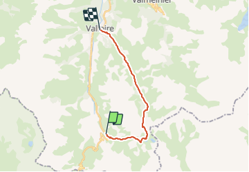
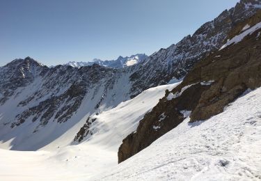
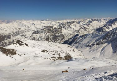
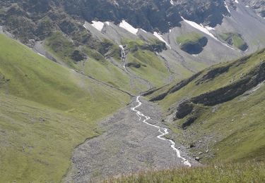
Trail Walking of 15.3 km to be discovered at Auvergne-Rhône-Alpes, Savoy, Valloire. This trail is proposed by GGsavoie.
Randonnée sympathique au départ de Plan Lachat (Valloire Galibier) . Passage par le camp des Rochilles et le col éponyme. Petite descente vers le lac Grand Ban qu'on longe sur la gauche, et montée au col de la Plagnette (15mn). Descente ensuite dans le Vallon jusqu'à Valloire.
Rando assez longue mais sans difficultés. Prendre de l'eau, on n'en trouve pas sur le chemin.
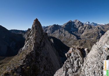
Walking

Walking
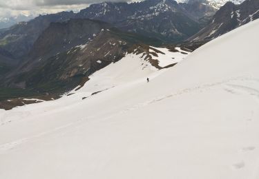
Touring skiing

Walking

Walking
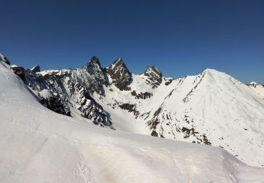
Touring skiing
Touring skiing
Touring skiing
Walking