Trail Walking Thorame-Haute - Puy de rent - Photo
© OpenStreetMap contributors
Length
Length
8.3 km
Max alt
Max alt
1996 m
Uphill gradient
Uphill gradient
612 m
Km-Effort
Km-Effort  
16.4 km
Min alt
Min alt
1430 m
Downhill gradient
Downhill gradient
610 m
Boucle
Boucle
Yes
Creation date :
2021-06-09 07:15:14.622
Updated on :
2021-06-09 13:14:19.074

(0 Reviews)

Walking
Walking
2h42
Difficulty : Difficult

Scan this QR Code to open this trail in the SityTrail application

FREE GPS app for hiking

Logo SityTrail SityTrail

IGN / Geographical institutes

Download SityTrail from the App Store Download SityTrail from Google Play

Logo SityTrail SityTrail World

The world is yours!

Download SityTrail from the App Store Download SityTrail from Google Play Download SityTrail on Huawei AppGallery

About

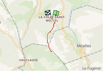
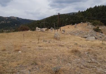
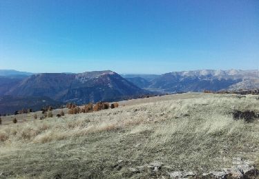
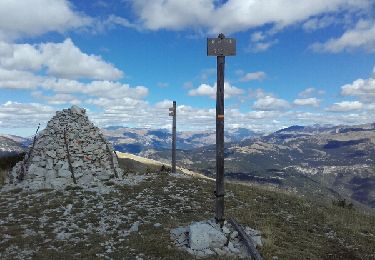
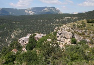
Trail Walking of 8.3 km to be discovered at Provence-Alpes-Côte d'Azur, Alpes-de-Haute-Provence, Thorame-Haute. This trail is proposed by darranger.

Description

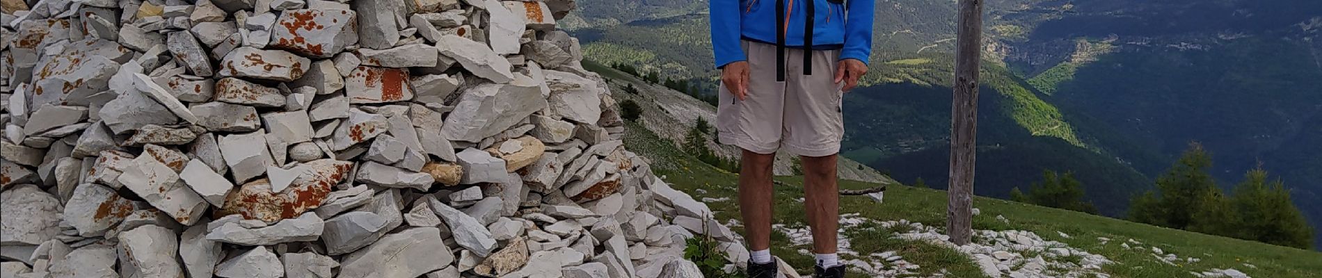
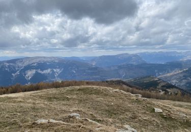
belle rando monté direct mais vu imprenable

Elevation profile

Photos

Positioning

Country:
France
Region :
Provence-Alpes-Côte d'Azur
Department/Province :
Alpes-de-Haute-Provence
Municipality :
Thorame-Haute
Location:
Unknown
Start:(UTM)
307199 ; 4879883 (32T) N.

Trails nearby

Trail Walking Méailles - M’égailles tête du Ruch - Photo
Walking
GUIDE
Roger Philippe Wallez

Walking

Very difficult
Méailles, Provence-Alpes-Côte d'Azur, Alpes-de-Haute-Provence, France
19.9 km | 37 km-effort
8h 38min
Yes
Trail On foot Le Fugeret - 2021-09-20_Le Fugeret - Photo
On foot
Christiancordin

On foot

Medium
Le Fugeret, Provence-Alpes-Côte d'Azur, Alpes-de-Haute-Provence, France
11.2 km | 19.7 km-effort
4h 28min
Yes
Trail Walking Thorame-Haute - peyrus.le couradour  - Photo
Walking
Joel26400

Walking

Medium
Thorame-Haute, Provence-Alpes-Côte d'Azur, Alpes-de-Haute-Provence, France
13.3 km | 22 km-effort
4h 10min
Yes
Trail Walking Thorame-Haute - pic de courradour  - Photo
Walking
daniel256

Walking

Easy
Thorame-Haute, Provence-Alpes-Côte d'Azur, Alpes-de-Haute-Provence, France
16 km | 31 km-effort
4h 28min
No
Trail Walking Allons - puy de rent, descente par la colle  - Photo
Walking
daniel256

Walking

Medium
Allons, Provence-Alpes-Côte d'Azur, Alpes-de-Haute-Provence, France
22 km | 38 km-effort
5h 40min
Yes
Trail Walking Thorame-Haute - Pré Thorame - Photo
Walking
yvan bomal

Walking

Easy
Thorame-Haute, Provence-Alpes-Côte d'Azur, Alpes-de-Haute-Provence, France
8.5 km | 12.5 km-effort
1h 2min
No
Trail Cross-country skiing Thorame-Haute - ski de fond colle baudet - Photo
Cross-country skiing
Marchopier

Cross-country skiing

Very easy
Thorame-Haute, Provence-Alpes-Côte d'Azur, Alpes-de-Haute-Provence, France
12.8 km | 16.3 km-effort
2h 38min
No
Trail Snowshoes Thorame-Haute - Le Courradour (2230m)en raquettes - Photo
Snowshoes
tracegps

Snowshoes

Medium
Thorame-Haute, Provence-Alpes-Côte d'Azur, Alpes-de-Haute-Provence, France
3.7 km | 9.7 km-effort
3h 30min
No
Trail Mountain bike Méailles - Tour du Grand Coyer en VTT - Méailles - Photo
Mountain bike
tracegps

Mountain bike

Very difficult
Méailles, Provence-Alpes-Côte d'Azur, Alpes-de-Haute-Provence, France
64 km | 98 km-effort
10h 0min
No


Close
My subscriptions