![](/images/other/stat-length.png)
![Trail Walking Saint-Christophe-Vallon - Le Puech du Cayla - Photo](https://media.geolcdn.com/t/1900/400/fdb7bf7d-864a-4661-af74-87ae720006c9.jpg&format=pjpeg&maxdim=2)
Le Puech du Cayla
ZITO12
User
![Length](/images/other/stat-length.png)
Length
11.5 km
![Max alt](https://static1.geolcdn.com/siteimages/upload/files/1508320355ic_sort_altitude_max_24dp.png)
Max alt
540 m
![Uphill gradient](https://static1.geolcdn.com/siteimages/upload/files/1508320355ic_sort_den_pos_24dp.png)
Uphill gradient
313 m
![Km-Effort](/images/other/stat-length.png)
Km-Effort
15.7 km
![Min alt](https://static1.geolcdn.com/siteimages/upload/files/1508320355ic_sort_altitude_min_24dp.png)
Min alt
312 m
![Downhill gradient](https://static1.geolcdn.com/siteimages/upload/files/1508320355ic_sort_den_neg_24dp.png)
Downhill gradient
314 m
![Boucle](https://static1.geolcdn.com/siteimages/upload/files/16400158638029165_repeat_loop_refresh_sync_direction_icon.png)
Boucle
Yes
Creation date :
2021-03-24 08:24:53.158
Updated on :
2021-03-24 13:25:32.504
![Walking](https://static1.geolcdn.com/sitytour/trail-icons/101.png)
4h59
Difficulty : Very easy
![Scan this QR Code to open this trail in the SityTrail application](https://capi.geolives.com/qq0zvz2zws4bq2lad0pu/sitytour/trails/2719339/qr.png?size=200)
FREE GPS app for hiking
About
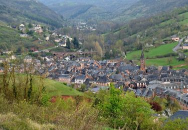
Trail Walking of 11.5 km to be discovered at Occitania, Aveyron, Saint-Christophe-Vallon. This trail is proposed by ZITO12.
Description
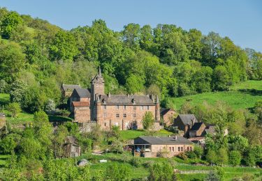
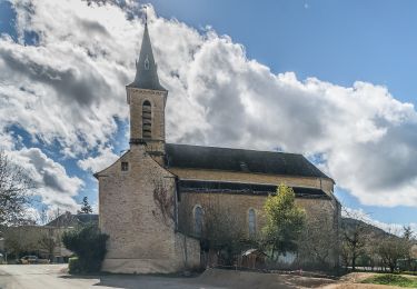
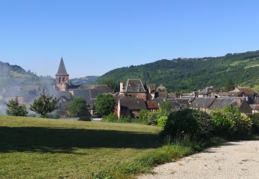
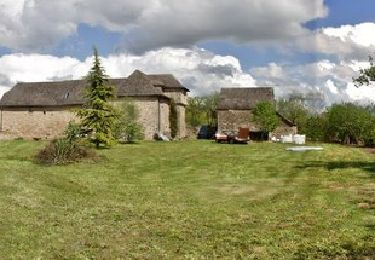
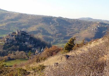
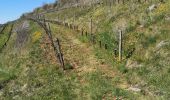
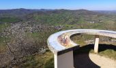
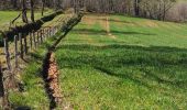
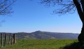
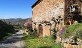
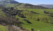
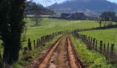
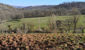
Rando très facile avec de belles vues panoramiques. Beaucoup de passages en situation dominante. Petit bémol : un peu trop de goudron au départ mais sans circulation. Beaucoup de chants d'oiseaux au printemps.
Positioning
Country:
France
Region :
Occitania
Department/Province :
Aveyron
Municipality :
Saint-Christophe-Vallon
Location:
Unknown
Start:(Dec)
Start:(UTM)
453036 ; 4924196 (31T) N.
Comments
Trails nearby
![Trail Walking Clairvaux-d'Aveyron - Clairvaux les vignes - Photo](https://media.geolcdn.com/t/375/260/547b9c13-f0aa-4086-9763-e0c7b802734a.jpg&format=jpg&maxdim=2)
![Walking Walking](https://static1.geolcdn.com/sitytour/trail-icons/101.png)
Clairvaux les vignes
Walking
Medium
Clairvaux-d'Aveyron,
Occitania,
Aveyron,
France
![](/images/other/stat-length.png)
11.7 km | 17.7 km-effort
3h 34min
![](https://static1.geolcdn.com/siteimages/upload/files/16400158638029165_repeat_loop_refresh_sync_direction_icon.png)
Yes
![Trail On foot Marcillac-Vallon - De la Vigne à la Forêt - Photo](https://media.geolcdn.com/t/375/260/de358808-995a-4e66-a7bc-7643c08a89f0.jpeg&format=jpg&maxdim=2)
![On foot On foot](https://static1.geolcdn.com/sitytour/trail-icons/100.png)
De la Vigne à la Forêt
On foot
Easy
Marcillac-Vallon,
Occitania,
Aveyron,
France
![](/images/other/stat-length.png)
10.1 km | 14.1 km-effort
3h 11min
![](https://static1.geolcdn.com/siteimages/upload/files/16400158638029165_repeat_loop_refresh_sync_direction_icon.png)
Yes
![Trail On foot Clairvaux-d'Aveyron - Le Puech du Puot - Photo](https://media.geolcdn.com/t/375/260/7b66d59b-57fd-4e05-9f40-fa5db08de376.jpeg&format=jpg&maxdim=2)
![On foot On foot](https://static1.geolcdn.com/sitytour/trail-icons/100.png)
Le Puech du Puot
On foot
Easy
Clairvaux-d'Aveyron,
Occitania,
Aveyron,
France
![](/images/other/stat-length.png)
11.3 km | 16 km-effort
3h 38min
![](https://static1.geolcdn.com/siteimages/upload/files/16400158638029165_repeat_loop_refresh_sync_direction_icon.png)
No
![Trail On foot Marcillac-Vallon - Le Puech du Cayla - Photo](https://media.geolcdn.com/t/375/260/8cd11238-deb6-4ad1-aedf-849d7e3f0636.jpeg&format=jpg&maxdim=2)
![On foot On foot](https://static1.geolcdn.com/sitytour/trail-icons/100.png)
Le Puech du Cayla
On foot
Easy
Marcillac-Vallon,
Occitania,
Aveyron,
France
![](/images/other/stat-length.png)
5.5 km | 7.9 km-effort
1h 47min
![](https://static1.geolcdn.com/siteimages/upload/files/16400158638029165_repeat_loop_refresh_sync_direction_icon.png)
No
![Trail On foot Nauviale - chemin Gare de Saint-Christophe - Conques - Photo](https://media.geolcdn.com/t/375/260/6504ab02-a630-4d3d-8cf7-ff351c586848.jpeg&format=jpg&maxdim=2)
![On foot On foot](https://static1.geolcdn.com/sitytour/trail-icons/100.png)
chemin Gare de Saint-Christophe - Conques
On foot
Easy
Nauviale,
Occitania,
Aveyron,
France
![](/images/other/stat-length.png)
6.9 km | 8 km-effort
1h 48min
![](https://static1.geolcdn.com/siteimages/upload/files/16400158638029165_repeat_loop_refresh_sync_direction_icon.png)
No
![Trail On foot Valady - Des Vignes aux Moulins - Photo](https://media.geolcdn.com/t/375/260/b97221fb-400d-42a7-a06a-20fc60a8eb33.jpeg&format=jpg&maxdim=2)
![On foot On foot](https://static1.geolcdn.com/sitytour/trail-icons/100.png)
Des Vignes aux Moulins
On foot
Easy
Valady,
Occitania,
Aveyron,
France
![](/images/other/stat-length.png)
11.3 km | 15.2 km-effort
3h 26min
![](https://static1.geolcdn.com/siteimages/upload/files/16400158638029165_repeat_loop_refresh_sync_direction_icon.png)
Yes
![Trail Walking Valady - Valady nuces serres - Photo](https://media.geolcdn.com/t/375/260/a160f9a8-fc2c-473e-a825-99e79984864d.jpg&format=jpg&maxdim=2)
![Walking Walking](https://static1.geolcdn.com/sitytour/trail-icons/101.png)
Valady nuces serres
Walking
Easy
Valady,
Occitania,
Aveyron,
France
![](/images/other/stat-length.png)
12.6 km | 16.9 km-effort
4h 7min
![](https://static1.geolcdn.com/siteimages/upload/files/16400158638029165_repeat_loop_refresh_sync_direction_icon.png)
No
![Trail Walking Goutrens - Autour de Goutrens - Photo](https://media.geolcdn.com/t/375/260/ext.jpg?maxdim=2&url=https%3A%2F%2Fservices.sitytrail.com%2FGeolivesWS%2FDownloadMedia.ashx%3FTrailID%3D317625%26Media%3D16894_4.jpg)
![Walking Walking](https://static1.geolcdn.com/sitytour/trail-icons/101.png)
Autour de Goutrens
Walking
Medium
Goutrens,
Occitania,
Aveyron,
France
![](/images/other/stat-length.png)
11.7 km | 15.2 km-effort
3h 15min
![](https://static1.geolcdn.com/siteimages/upload/files/16400158638029165_repeat_loop_refresh_sync_direction_icon.png)
Yes
![Trail Walking Clairvaux-d'Aveyron - Autour de Panat - Photo](https://media.geolcdn.com/t/375/260/ext.jpg?maxdim=2&url=https%3A%2F%2Fservices.sitytrail.com%2FGeolivesWS%2FDownloadMedia.ashx%3FTrailID%3D102970%26Media%3D4431_5.jpg)
![Walking Walking](https://static1.geolcdn.com/sitytour/trail-icons/101.png)
Autour de Panat
Walking
Medium
Clairvaux-d'Aveyron,
Occitania,
Aveyron,
France
![](/images/other/stat-length.png)
10.9 km | 15.4 km-effort
3h 15min
![](https://static1.geolcdn.com/siteimages/upload/files/16400158638029165_repeat_loop_refresh_sync_direction_icon.png)
Yes