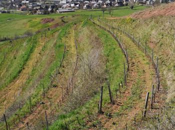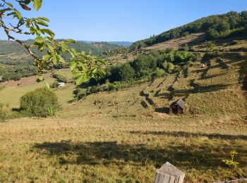
Saint-Christophe-Vallon, Aveyron: Best trails, routes and walks
Saint-Christophe-Vallon: Discover the best trails: 4 hiking trails. All these trails, routes and outdoor activities are available in our SityTrail applications for smartphones and tablets.
The best trails (5)

Km
#1 - Le Puech du Cayla


Walking
Very easy
Saint-Christophe-Vallon,
Occitania,
Aveyron,
France

11.5 km | 15.7 km-effort
4h 59min

313 m

314 m
Yes
ZITO12

Km
#2 - le puech du cayla


Walking
Difficult
Saint-Christophe-Vallon,
Occitania,
Aveyron,
France

9.7 km | 12.9 km-effort
2h 52min

238 m

234 m
Yes
JamesVautier

Km
#3 - 2024-08-18_16h49m36_la_reynie_st_julien_de_malmont_7km-10645170-1723992228-269


sport
Very easy
Saint-Christophe-Vallon,
Occitania,
Aveyron,
France

7.5 km | 9.6 km-effort
Unknown

159 m

158 m
Yes
JamesVautier

Km
#4 - tour cantuel


Walking
Difficult
Saint-Christophe-Vallon,
Occitania,
Aveyron,
France

10.2 km | 13.7 km-effort
3h 1min

263 m

261 m
Yes
Delmasjacques

Km
#5 - st Christophe


Walking
Very easy
Saint-Christophe-Vallon,
Occitania,
Aveyron,
France

11.9 km | 16.2 km-effort
3h 9min

330 m

310 m
No
bouscaillou
5 trails displayed on 5
FREE GPS app for hiking


 SityTrail


