Trail Walking Thorame-Haute - montagne de cordeil - Photo
© OpenStreetMap contributors
Length
Length
13.4 km
Max alt
Max alt
2108 m
Uphill gradient
Uphill gradient
1068 m
Km-Effort
Km-Effort  
28 km
Min alt
Min alt
1093 m
Downhill gradient
Downhill gradient
1044 m
Boucle
Boucle
Yes
Creation date :
2020-11-29 07:40:34.068
Updated on :
2020-11-29 14:36:46.245

(1 Reviews)

Walking
Walking
6h49
Difficulty : Difficult

Scan this QR Code to open this trail in the SityTrail application

FREE GPS app for hiking

Logo SityTrail SityTrail

IGN / Geographical institutes

Download SityTrail from the App Store Download SityTrail from Google Play

Logo SityTrail SityTrail World

The world is yours!

Download SityTrail from the App Store Download SityTrail from Google Play Download SityTrail on Huawei AppGallery

About

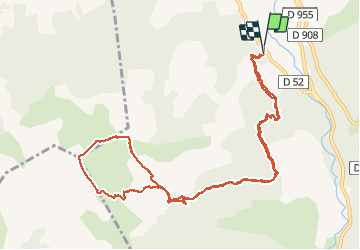
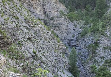
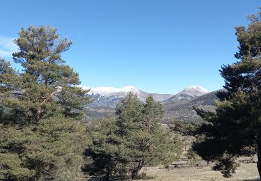
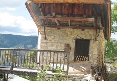
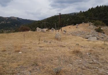
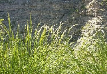
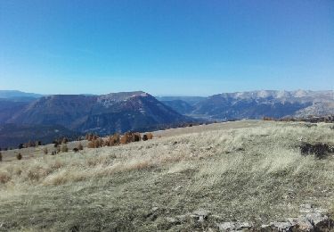
Trail Walking of 13.4 km to be discovered at Provence-Alpes-Côte d'Azur, Alpes-de-Haute-Provence, Thorame-Haute. This trail is proposed by montagne06.

Description

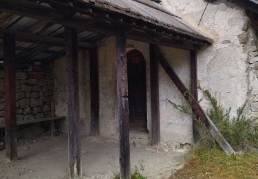
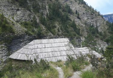
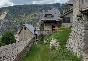
Thorame haute a la cabane de cordeil puis hors sentier à la crête avec un splendide panorama

Elevation profile

Positioning

Country:
France
Region :
Provence-Alpes-Côte d'Azur
Department/Province :
Alpes-de-Haute-Provence
Municipality :
Thorame-Haute
Location:
Unknown
Start:(UTM)
304757 ; 4883859 (32T) N.

Comments

Please log in to post a review or rate the element


Trails nearby

Trail Walking Beauvezer - les gorges de St-Pierre - Photo
Walking
GUIDE
amiral13

Walking

Easy
Beauvezer, Provence-Alpes-Côte d'Azur, Alpes-de-Haute-Provence, France
6.5 km | 12.7 km-effort
2h 3min
Yes
Trail Walking Beauvezer - 04.gorges st pierre 03.08.23 - Photo
Walking
randodyssée

Walking

Easy
Beauvezer, Provence-Alpes-Côte d'Azur, Alpes-de-Haute-Provence, France
4.6 km | 9 km-effort
1h 29min
No
Trail Walking Beauvezer - 12-07-2023 Gorges de Saint Pierre  - Photo
Walking
GUIDE
Kargil

Walking

Difficult
Beauvezer, Provence-Alpes-Côte d'Azur, Alpes-de-Haute-Provence, France
13.4 km | 25 km-effort
5h 36min
Yes
Trail Walking La Mure-Argens - Montagne de Maurel - Photo
Walking
Marchopier

Walking

Very difficult
La Mure-Argens, Provence-Alpes-Côte d'Azur, Alpes-de-Haute-Provence, France
13.6 km | 20 km-effort
4h 32min
Yes
Trail Walking Beauvezer - Gorges de St Pierre-21-09-21 - Photo
Walking
Christiancordin

Walking

Difficult
Beauvezer, Provence-Alpes-Côte d'Azur, Alpes-de-Haute-Provence, France
20 km | 37 km-effort
5h 21min
Yes
Trail Walking Thorame-Haute - peyrus.le couradour  - Photo
Walking
Joel26400

Walking

Medium
Thorame-Haute, Provence-Alpes-Côte d'Azur, Alpes-de-Haute-Provence, France
13.3 km | 22 km-effort
4h 10min
Yes
Trail Walking Beauvezer - Gorges de Saint Pierre - Photo
Walking
LtZIP

Walking

Medium
Beauvezer, Provence-Alpes-Côte d'Azur, Alpes-de-Haute-Provence, France
11.6 km | 22 km-effort
4h 22min
Yes
Trail Walking Thorame-Haute - pic de courradour  - Photo
Walking
daniel256

Walking

Easy
Thorame-Haute, Provence-Alpes-Côte d'Azur, Alpes-de-Haute-Provence, France
16 km | 31 km-effort
4h 28min
No
Trail Walking Thorame-Basse - pic de mal-ubac  - Photo
Walking
daniel256

Walking

Medium
Thorame-Basse, Provence-Alpes-Côte d'Azur, Alpes-de-Haute-Provence, France
24 km | 41 km-effort
5h 9min
Yes


Close
My subscriptions