


27 km | 40 km-effort

User


FREE GPS app for hiking
 SityTrail
IGN / Geographical institutes
SityTrail World
The world is yours!
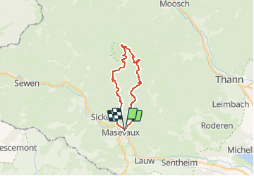
Trail Walking of 19.9 km to be discovered at Grand Est, Haut-Rhin, Masevaux-Niederbruck. This trail is proposed by Bart2015.
Randonnée sportive avec de magnifiques vues sur le Ballon d'Alsace, le Grand Ballon, ... Petite pause au sommet du Rossberg. A ne pas manquer au retour, l'impressionnant Rocher du Corbeau ...
Bonne randonnée.


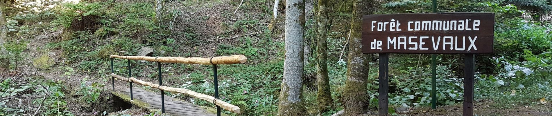
40 photos in total. Please click on a photo to see them all in the gallery.

Walking

Walking

Walking

On foot

On foot

Walking

Walking

Walking

Walking
Merci pour le partage. Je la mets dans mes favoris sur SityTrail.