


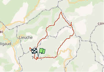


16.6 km | 30 km-effort

User


FREE GPS app for hiking
 SityTrail
IGN / Geographical institutes
SityTrail World
The world is yours!
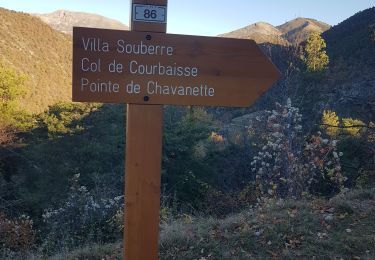
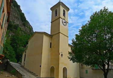
Trail Walking of 18.4 km to be discovered at Provence-Alpes-Côte d'Azur, Maritime Alps, Thiéry. This trail is proposed by ETMU5496.
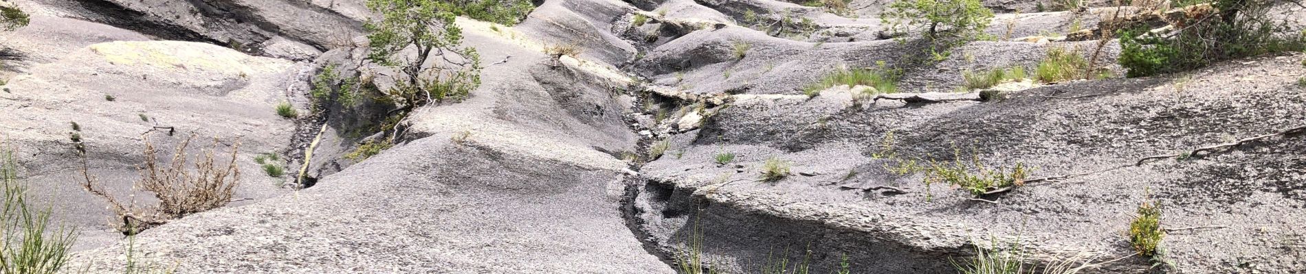
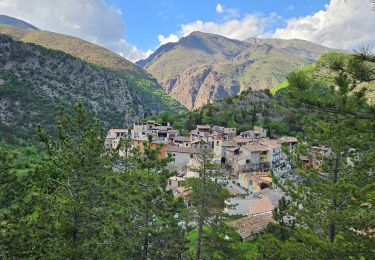
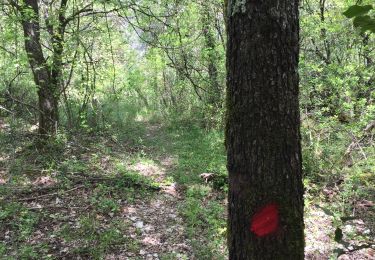
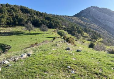
Jolie rando sportive au sein d'une belle nature et de jolis panoramas


37 photos in total. Please click on a photo to see them all in the gallery.
Walking
Walking
Walking
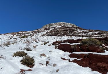
Snowshoes
Walking
Walking

Walking

Walking
On foot