


9.6 km | 17.5 km-effort
Thiéry: Discover the best trails: 19 hiking trails and 1 bike and mountain-bike routes. All these trails, routes and outdoor activities are available in our SityTrail applications for smartphones and tablets.
Walking


Walking
Walking

Walking
Walking

Walking
Walking
• 06.10.17 roland
Walking
Walking
Walking
Walking

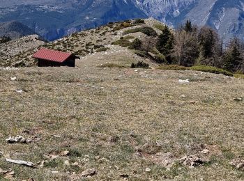
Mountain bike
Walking
Walking
Walking

On foot
Walking
Walking
Walking
Walking
20 trails displayed on 20
FREE GPS app for hiking
 SityTrail
IGN / Geographical institutes
SityTrail World
The world is yours!