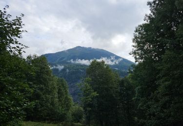
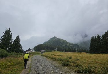
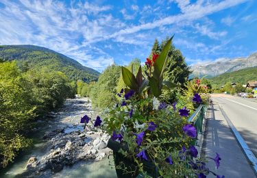
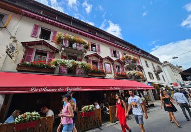
Trail Walking Saint-Gervais-les-Bains - Boucle St Gervais-Le Fayet-St Gervais - Photo

Boucle St Gervais-Le Fayet-St Gervais

 woody85
woody85

User

© OpenStreetMap contributors
Length
Length
3.9 km
Max alt
Max alt
798 m
Uphill gradient
Uphill gradient
203 m
Km-Effort
Km-Effort  
6.6 km
Min alt
Min alt
595 m
Downhill gradient
Downhill gradient
204 m
Boucle
Boucle
Yes
Creation date :
2014-12-10 00:00:00.0
Updated on :
2014-12-10 00:00:00.0

(1 Reviews)

Walking
Walking
1h12
Difficulty : Medium

Scan this QR Code to open this trail in the SityTrail application

FREE GPS app for hiking

Logo SityTrail SityTrail

IGN / Geographical institutes

Download SityTrail from the App Store Download SityTrail from Google Play

Logo SityTrail SityTrail World

The world is yours!

Download SityTrail from the App Store Download SityTrail from Google Play Download SityTrail on Huawei AppGallery

About

Trail Walking of 3.9 km to be discovered at Auvergne-Rhône-Alpes, Upper Savoy, Saint-Gervais-les-Bains. This trail is proposed by woody85.

Description

Départ du centre jusqu'au thermes puis centrale hydrolique EDF, puis remontée.

Elevation profile

Photos

Positioning

Country:
France
Region :
Auvergne-Rhône-Alpes
Department/Province :
Upper Savoy
Municipality :
Saint-Gervais-les-Bains
Location:
Unknown
Start:(UTM)
322293 ; 5085114 (32T) N.

Comments

Please log in to post a review or rate the element


bonne course de trail, attention par temps humide en hiver, risque de chute dans les descente.


Trails nearby

Trail Walking Les Houches - J4 - Les Chavants - Charousse - Vaudagne  - Photo
Walking

Walking

Medium
(1)
Les Houches, Auvergne-Rhône-Alpes, Upper Savoy, France
7.3 km | 11.4 km-effort
2h 10min
Yes
Trail Walking Passy - Tour de la chaine des Fiz par le passage du Dérochoir - Photo
Walking
tracegps

Walking

Very difficult
(2)
Passy, Auvergne-Rhône-Alpes, Upper Savoy, France
47 km | 90 km-effort
18h 0min
Yes
Trail Walking Saint-Gervais-les-Bains - M_VEROCE 74190 Pavillon du Joly - Photo
Walking
ANDREJAC

Walking

Medium
(1)
Saint-Gervais-les-Bains, Auvergne-Rhône-Alpes, Upper Savoy, France
5.9 km | 10.7 km-effort
2h 25min
Yes
Trail Running Passy - grimpe de chedde ayeres - Photo
Running
winbat11

Running

Very easy
(1)
Passy, Auvergne-Rhône-Alpes, Upper Savoy, France
15 km | 28 km-effort
2h 46min
No
Trail Walking Les Houches - J21 - R20 - La Fontaine - La Tour St Michel - Photo
Walking

Walking

Medium
Les Houches, Auvergne-Rhône-Alpes, Upper Savoy, France
5 km | 6.3 km-effort
1h 22min
Yes
Trail Walking Saint-Gervais-les-Bains - J17 - R16 - Le Plan de la Croix - Bettex - Photo
Walking

Walking

Easy
Saint-Gervais-les-Bains, Auvergne-Rhône-Alpes, Upper Savoy, France
5.8 km | 7.9 km-effort
1h 35min
No
Trail Walking Saint-Gervais-les-Bains - J8 - Grand Balcon Nord : Prarion - Bellevue - Photo
Walking

Walking

Medium
Saint-Gervais-les-Bains, Auvergne-Rhône-Alpes, Upper Savoy, France
3.5 km | 5.8 km-effort
1h 23min
No
Trail Walking Les Houches - J6 - Servoz - La Cote - La Gouille du Bë - Photo
Walking

Walking

Medium
Les Houches, Auvergne-Rhône-Alpes, Upper Savoy, France
7.3 km | 11.4 km-effort
2h 13min
Yes
Trail Walking Les Houches - J3 - Les Chavants - Chamonix Centre - Photo
Walking

Walking

Easy
Les Houches, Auvergne-Rhône-Alpes, Upper Savoy, France
10.9 km | 14.3 km-effort
2h 50min
No


Close
My subscriptions