


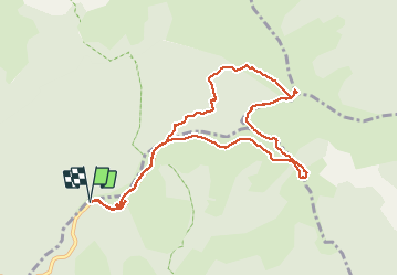

6.5 km | 10.5 km-effort

User


FREE GPS app for hiking
 SityTrail
IGN / Geographical institutes
SityTrail World
The world is yours!
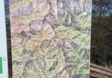
Trail Snowshoes of 10.6 km to be discovered at Provence-Alpes-Côte d'Azur, Maritime Alps, Moulinet. This trail is proposed by aris.
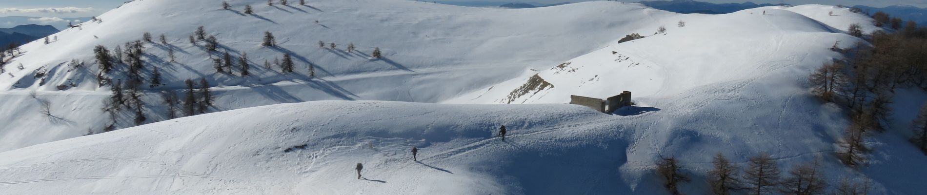
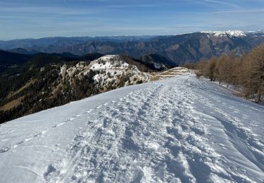
Pas de difficultés, sauf le couloir un peu raide et hors sentier entre la vacherie de l'Ortiguier et le fort de la Redoute : neige dure, crampons nécessaires.
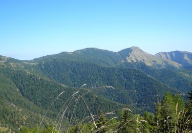
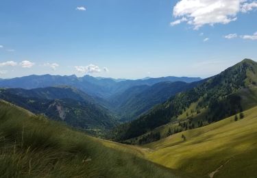
Magnifiques vues sur le Mercantour (Bégo, Cime du Diable...) et la Corse


On foot

On foot
On foot
Snowshoes
Walking

Walking
Walking
Walking
Walking