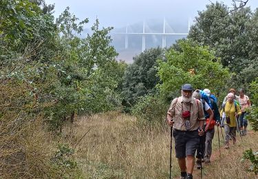
18.5 km | 26 km-effort
Joaquim Ribeiro
jribeiro12
User
Length
24 km
Max alt
587 m
Uphill gradient
688 m
Km-Effort
33 km
Min alt
336 m
Downhill gradient
634 m
Boucle
No
Creation date :
2014-12-10 00:00:00.0
Updated on :
2014-12-10 00:00:00.0
3h53
Difficulty : Easy
FREE GPS app for hiking
About
Trail Equestrian of 24 km to be discovered at Occitania, Aveyron, Comprégnac. This trail is proposed by jribeiro12.
Description
Peyre - Saint Rome de Cernon
Par pont en fer et ST. Georges de Luzençon
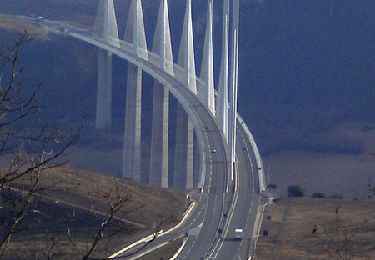
Positioning
Country:
France
Region :
Occitania
Department/Province :
Aveyron
Municipality :
Comprégnac
Location:
Unknown
Start:(Dec)
Start:(UTM)
498822 ; 4881190 (31T) N.
Comments
Trails nearby
Randonnée autour du Viaduc de Millau
Walking
Difficult
(2)
Millau,
Occitania,
Aveyron,
France
5h 30min
Yes
J9: St Georges de Luzençon- St Rome du Tarn-170522
Walking
Medium
Saint-Georges-de-Luzençon,
Occitania,
Aveyron,
France
20 km | 27 km-effort
6h 10min
No
parcours 5
Walking
Difficult
(1)
Comprégnac,
Occitania,
Aveyron,
France
28 km | 41 km-effort
Unknown
Yes
Des marches du Lévézou au plus haut viaduc du monde ! - Peyre
Cycle
Difficult
Comprégnac,
Occitania,
Aveyron,
France
74 km | 93 km-effort
4h 45min
Yes
Saint Georges Reco
Walking
Medium
(1)
Saint-Georges-de-Luzençon,
Occitania,
Aveyron,
France
16 km | 22 km-effort
4h 6min
Yes
St Geniez de bertrand
Walking
Medium
Saint-Georges-de-Luzençon,
Occitania,
Aveyron,
France
6 km | 9.8 km-effort
2h 4min
Yes
Peyre (Millau)
Walking
Medium
Comprégnac,
Occitania,
Aveyron,
France
11.6 km | 17.4 km-effort
4h 23min
No
Soulobres Therondels Peyre
Walking
Very easy
Millau,
Occitania,
Aveyron,
France
11.2 km | 17.6 km-effort
2h 50min
Yes
galettes chapelle de brocuejouls
Walking
Very easy
Millau,
Occitania,
Aveyron,
France
6.7 km | 8.6 km-effort
1h 52min
No