


28 km | 41 km-effort
Comprégnac: Discover the best trails: 23 hiking trails, 1 bike and mountain-bike routes and 1 equestrian circuits. All these trails, routes and outdoor activities are available in our SityTrail applications for smartphones and tablets.

Walking


Cycle
Walking

On foot
Walking
Walking
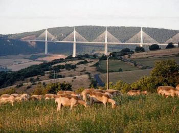
• Décourvrir le viaduc de Millau à partir des crêtes NW.Parking près de l'église. Pour prendre des photos en partant le...
Walking

Running
Other activity
Walking
• départ du village
Walking
• départ du village
Walking
• peyre et environs

Equestrian
• Peyre - Saint Rome de Cernon Par pont en fer et ST. Georges de Luzençon
Running
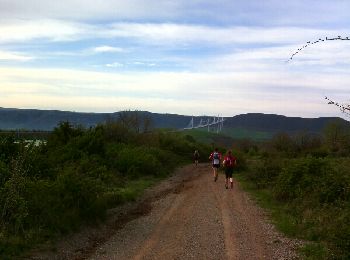
• Total: 27.3km
Running
• compregnac
Walking
• Une partie difficile
Walking
Walking
Running
Walking
20 trails displayed on 26
FREE GPS app for hiking
 SityTrail
IGN / Geographical institutes
SityTrail World
The world is yours!