


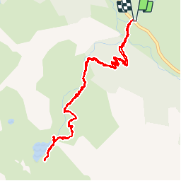

15.2 km | 31 km-effort


User


FREE GPS app for hiking
 SityTrail
IGN / Geographical institutes
SityTrail World
The world is yours!
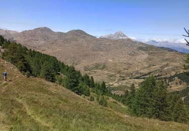
Trail Walking of 5.8 km to be discovered at Provence-Alpes-Côte d'Azur, Hautes-Alpes, Cervières. This trail is proposed by gibello.
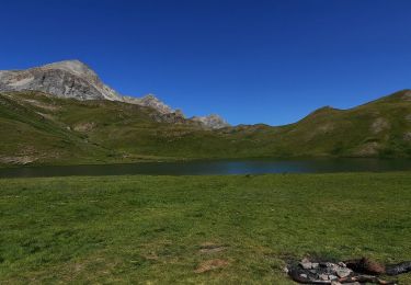
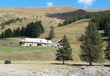
départ des chalps.
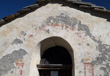
passage délicat avec câble...mais facile.
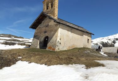
retour même itinéraire pour rando matin.


Walking

Walking
Walking
Walking
Touring skiing
Walking
Walking
Walking
Walking