


14 km | 27 km-effort

User


FREE GPS app for hiking
 SityTrail
IGN / Geographical institutes
SityTrail World
The world is yours!
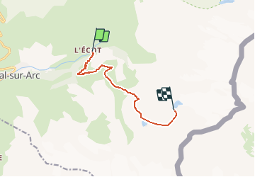
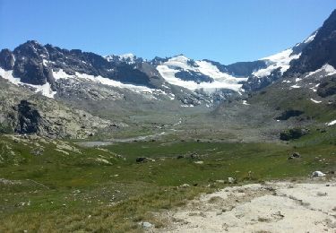
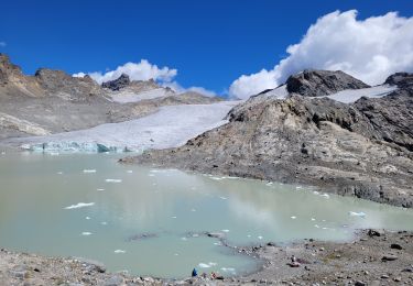
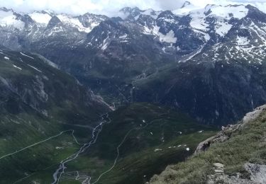
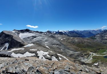
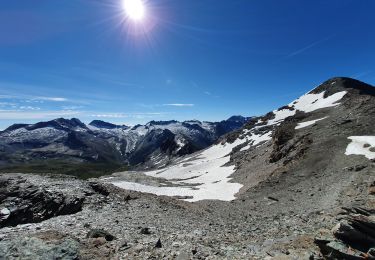
Trail Walking of 7.6 km to be discovered at Auvergne-Rhône-Alpes, Savoy, Bonneval-sur-Arc. This trail is proposed by skippy6231.
Parking au village de l'Ecot (après Bonneval / Arc)
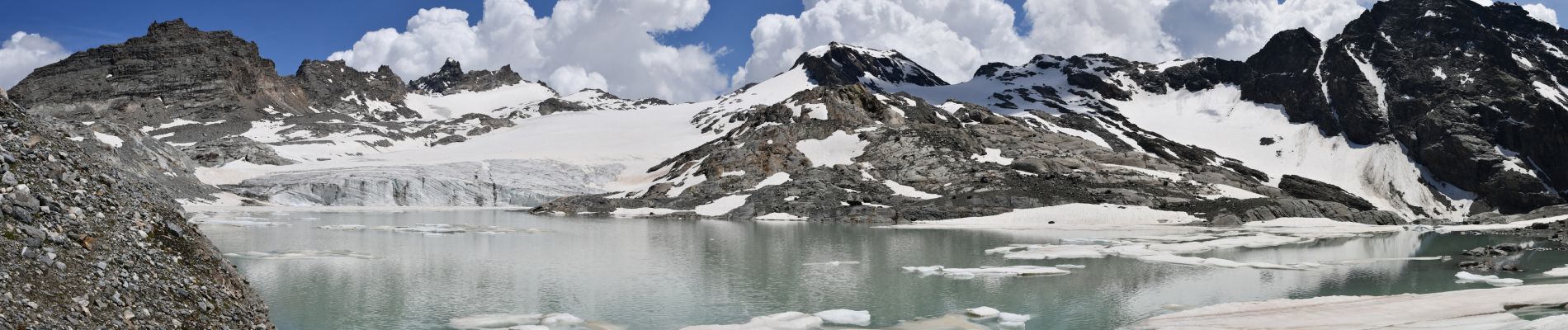
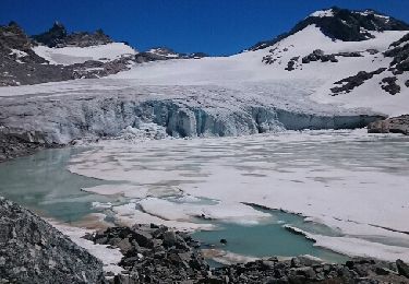
Démarrer par le sentier pour aller jusqu'au refuge des Evettes. A l'entrée du cirque des Evettes ne pas tourner carrément à gauche en direction du refuge mais descendre vers le cirque un peu sur la gauche pour atteindre le pont romain qu'il faut traverser. Suivre ensuite le bord jusqu'au panneau indiquant le lac sur la gauche. On a l'impression de monter sur un gros rocher. La montée jusqu'au lac à partir de là est parfois assez raide et assez longue. Mais on est récompensé à l'arrivée par cette vue magnifique sue ce lac glaciaire. Retour par le même chemin.


Walking
Other activity
Walking
![Trail Walking Bonneval-sur-Arc - Bonneval-sur-Arc / Bessans [neige] - J4 - Photo](https://media.geolcdn.com/t/375/260/28d35c22-b143-4338-8bb6-93842cf637ce.jpg&format=jpg&maxdim=2)
Walking
Walking
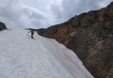
Touring skiing
Touring skiing
Walking
Walking