


12.6 km | 30 km-effort

User


FREE GPS app for hiking
 SityTrail
IGN / Geographical institutes
SityTrail World
The world is yours!
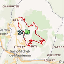
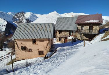
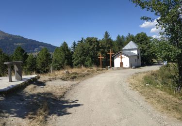
Trail Mountain bike of 18.5 km to be discovered at Auvergne-Rhône-Alpes, Savoy, Saint-Michel-de-Maurienne. This trail is proposed by phdsyn.
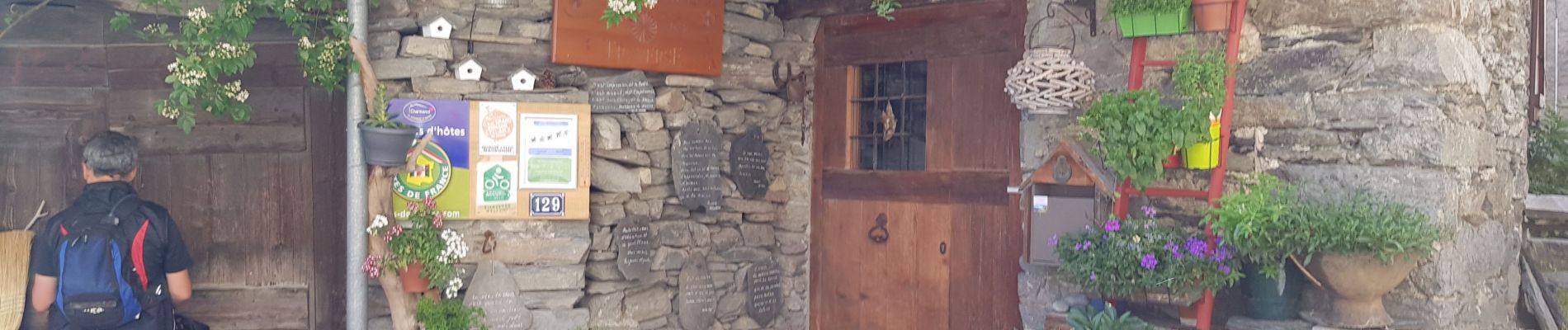
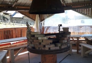
Départ en VTT électrique depuis la chambre d’hôte la Traversa.
Alain notre hôte connait très bien la région et vous donnera tous les itinéraires et les conseils.
Le logement et les repas sont fabuleux.
Alain loue les VTT éclectiques qui sont des All Maintain full suspendu de très bonne qualité.
Cette balade vous emmène de 1300 a 2000 mètres par un chemin de montagne empierré mais facile.
la descente est plus vertigineuse .

Touring skiing
Walking
Walking
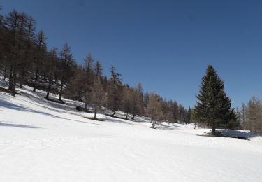
Snowshoes
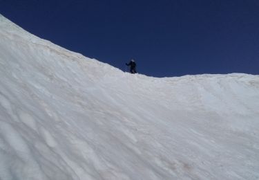
Touring skiing
Snowshoes
Walking
Snowshoes
Road bike