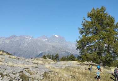
7.4 km | 13.4 km-effort
Bouchier Salcette
jmgeffrin
User
Length
9.9 km
Max alt
2320 m
Uphill gradient
916 m
Km-Effort
22 km
Min alt
1508 m
Downhill gradient
919 m
Boucle
Yes
Creation date :
2019-06-11 07:01:22.447
Updated on :
2019-06-11 13:18:28.976
4h40
Difficulty : Medium
FREE GPS app for hiking
About
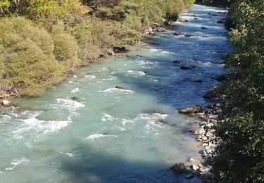
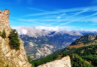
Trail Walking of 9.9 km to be discovered at Provence-Alpes-Côte d'Azur, Hautes-Alpes, Saint-Martin-de-Queyrières. This trail is proposed by jmgeffrin.
Positioning
Country:
France
Region :
Provence-Alpes-Côte d'Azur
Department/Province :
Hautes-Alpes
Municipality :
Saint-Martin-de-Queyrières
Location:
Unknown
Start:(Dec)
Start:(UTM)
307494 ; 4967102 (32T) N.
Comments
Trails nearby
Clos du Vas - Puy Chalvin
Trail
Medium
Puy-Saint-André,
Provence-Alpes-Côte d'Azur,
Hautes-Alpes,
France
1h 30min
Yes
Clos du Vas - St Blaise - Briançon - Villar St Pancrace (Hautes-Alpes)
Running
Medium
Puy-Saint-André,
Provence-Alpes-Côte d'Azur,
Hautes-Alpes,
France
8 km | 10 km-effort
1h 7min
Yes
Boucle de Vallouise
On foot
Easy
Vallouise-Pelvoux,
Provence-Alpes-Côte d'Azur,
Hautes-Alpes,
France
8.1 km | 11.6 km-effort
2h 38min
Yes
Tour des Vigneaux
On foot
Easy
Les Vigneaux,
Provence-Alpes-Côte d'Azur,
Hautes-Alpes,
France
5.7 km | 7.5 km-effort
1h 42min
Yes
Tête du Puy (Argentière La Bessée)
Walking
Very difficult
Saint-Martin-de-Queyrières,
Provence-Alpes-Côte d'Azur,
Hautes-Alpes,
France
11.3 km | 25 km-effort
6h 11min
Yes
Entre Parapin et Gyronde
On foot
Easy
Les Vigneaux,
Provence-Alpes-Côte d'Azur,
Hautes-Alpes,
France
5.8 km | 8.3 km-effort
1h 53min
Yes
têtes et lacs
Walking
Easy
(2)
Les Vigneaux,
Provence-Alpes-Côte d'Azur,
Hautes-Alpes,
France
7.1 km | 11 km-effort
2h 40min
Yes
Les Têtes et tête d'Oréac
Walking
Medium
L'Argentière-la-Bessée,
Provence-Alpes-Côte d'Azur,
Hautes-Alpes,
France
14.8 km | 29 km-effort
6h 23min
Yes
Le Villaret (Hautes-Alpes)
Running
Very easy
Puy-Saint-André,
Provence-Alpes-Côte d'Azur,
Hautes-Alpes,
France
5.7 km | 7.4 km-effort
54min
Yes