


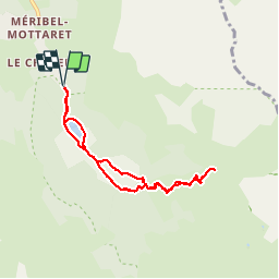

6.8 km | 11.1 km-effort

User


FREE GPS app for hiking
 SityTrail
IGN / Geographical institutes
SityTrail World
The world is yours!
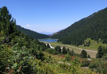
Trail Walking of 7 km to be discovered at Auvergne-Rhône-Alpes, Savoy, Les Allues. This trail is proposed by jpduc.
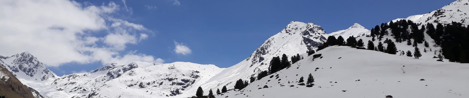
Balade facile au-dessus de la station de Méribel en passant par le lac Tuéda et le refuge du plan. La neige du mois de mai nous a empêché d'atteindre le refuge, nous avons cependant pu admirer la beauté du vallon du Fruit avant de redescendre .


Walking

Walking

Walking

Walking

Other activity

Walking
Walking
Other activity
Walking