


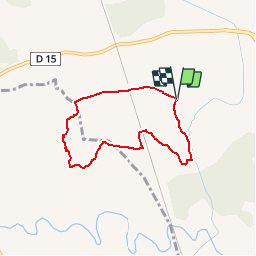


6.9 km | 8.5 km-effort

Sport - Santé - Sénior


FREE GPS app for hiking
 SityTrail
IGN / Geographical institutes
SityTrail World
The world is yours!
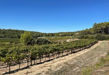
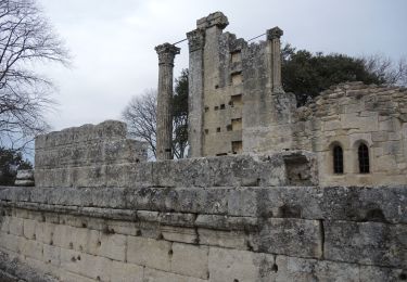
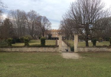
Trail Walking of 6 km to be discovered at Provence-Alpes-Côte d'Azur, Bouches-du-Rhône, Lambesc. This trail is proposed by Retraite sportive lambescaine provencale.
Walking
Walking

Walking
Walking

Walking
Walking
Walking
Walking
Walking