


8.4 km | 10.9 km-effort
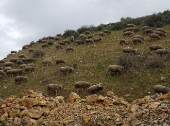
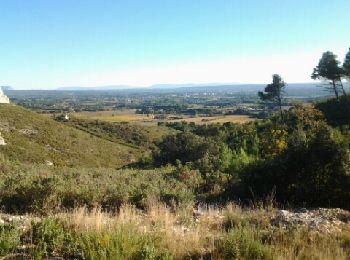
Lambesc: Discover the best trails: 125 hiking trails, 20 bike and mountain-bike routes and 6 equestrian circuits. All these trails, routes and outdoor activities are available in our SityTrail applications for smartphones and tablets.
Walking


Walking
Walking
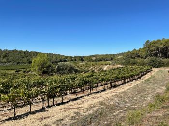
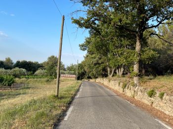
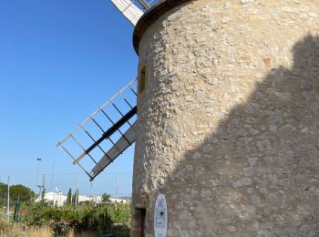
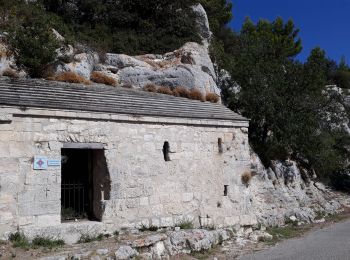
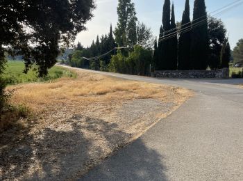
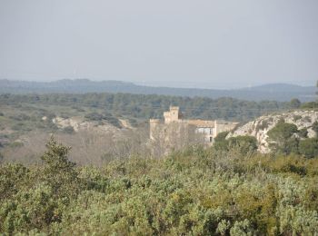
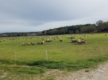
• Lambesc - Ste Anne de Goiron - Chaine des Côtes - hameau de Janet
Walking
Walking
Walking

Walking
Walking
Walking
Road bike
Walking

Walking
Walking
Walking
• marche
Walking
Walking

Walking

Walking
•
Walking
•
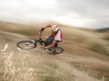
Mountain bike
20 trails displayed on 158
FREE GPS app for hiking
 SityTrail
IGN / Geographical institutes
SityTrail World
The world is yours!