


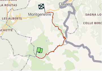


15.4 km | 32 km-effort

User


FREE GPS app for hiking
 SityTrail
IGN / Geographical institutes
SityTrail World
The world is yours!
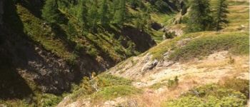
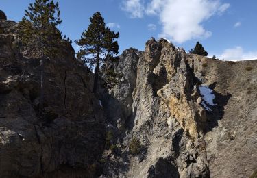
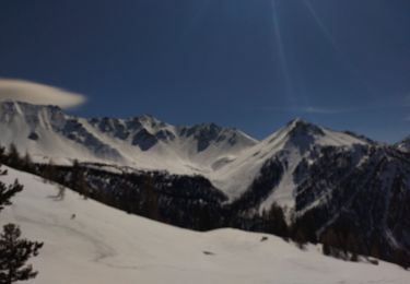
Trail Walking of 12.3 km to be discovered at Provence-Alpes-Côte d'Azur, Hautes-Alpes, Cervières. This trail is proposed by anne.briqueteur.
Du sommet des anges (tls des gondrans) par le chenaillet et le vallon de la doire retour par les lacs de montgenevre


Walking

Mountain bike

Walking
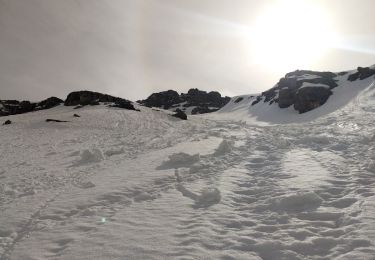
Touring skiing

Walking
Walking
Touring skiing

Touring skiing

Walking