10 km | 12.6 km-effort
Deuille en gué ;-))
virginieHurpeau
User
Length
47 km
Max alt
409 m
Uphill gradient
732 m
Km-Effort
57 km
Min alt
209 m
Downhill gradient
729 m
Boucle
Yes
Creation date :
2014-12-10 00:00:00.0
Updated on :
2014-12-10 00:00:00.0
4h01
Difficulty : Medium
FREE GPS app for hiking
About
Trail Mountain bike of 47 km to be discovered at Grand Est, Meurthe-et-Moselle, Maizières. This trail is proposed by virginieHurpeau.
Description
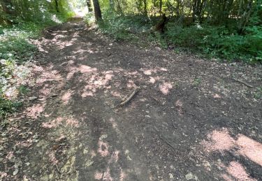
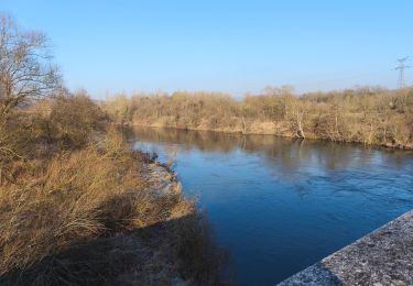
La résurgence de la Deuille d'Ochey en en crue à cause des orages... nombreux passage à gué > 70cm !
Positioning
Country:
France
Region :
Grand Est
Department/Province :
Meurthe-et-Moselle
Municipality :
Maizières
Location:
Unknown
Start:(Dec)
Start:(UTM)
283351 ; 5385530 (32U) N.
Comments
Trails nearby
Circuit du Bois de Feys
On foot
Easy
Thuilley-aux-Groseilles,
Grand Est,
Meurthe-et-Moselle,
France
2h 52min
No
Bainville sur Madon
Walking
Medium
(3)
Bainville-sur-Madon,
Grand Est,
Meurthe-et-Moselle,
France
18.3 km | 23 km-effort
4h 15min
Yes
Sexey Aux Forges
Walking
Very difficult
Sexey-aux-Forges,
Grand Est,
Meurthe-et-Moselle,
France
31 km | 38 km-effort
2h 38min
No
BAINVILLE SUR MADON - CIRCUIT VOIVRE ET JACQUES CALLOT
Walking
Medium
Bainville-sur-Madon,
Grand Est,
Meurthe-et-Moselle,
France
19.8 km | 24 km-effort
5h 44min
Yes
sentier des croix
Walking
Very easy
(1)
Viterne,
Grand Est,
Meurthe-et-Moselle,
France
11.6 km | 13.6 km-effort
3h 10min
Yes
viterne du 14.12.2013
Walking
Easy
(2)
Maizières,
Grand Est,
Meurthe-et-Moselle,
France
7.6 km | 9.5 km-effort
2h 6min
No
Chaligny 1
Walking
Easy
(1)
Chaligny,
Grand Est,
Meurthe-et-Moselle,
France
4.9 km | 6.3 km-effort
1h 20min
Yes
Randoguide
Walking
Medium
(2)
Maizières,
Grand Est,
Meurthe-et-Moselle,
France
9.4 km | 12.9 km-effort
2h 19min
Yes
Le chemin des mines
Walking
Difficult
Pont-Saint-Vincent,
Grand Est,
Meurthe-et-Moselle,
France
13 km | 16.6 km-effort
3h 39min
Yes