


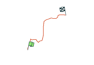

19.9 km | 37 km-effort

User


FREE GPS app for hiking
 SityTrail
IGN / Geographical institutes
SityTrail World
The world is yours!
Trail Snowshoes of 3.7 km to be discovered at Provence-Alpes-Côte d'Azur, Alpes-de-Haute-Provence, Thorame-Haute. This trail is proposed by tracegps.
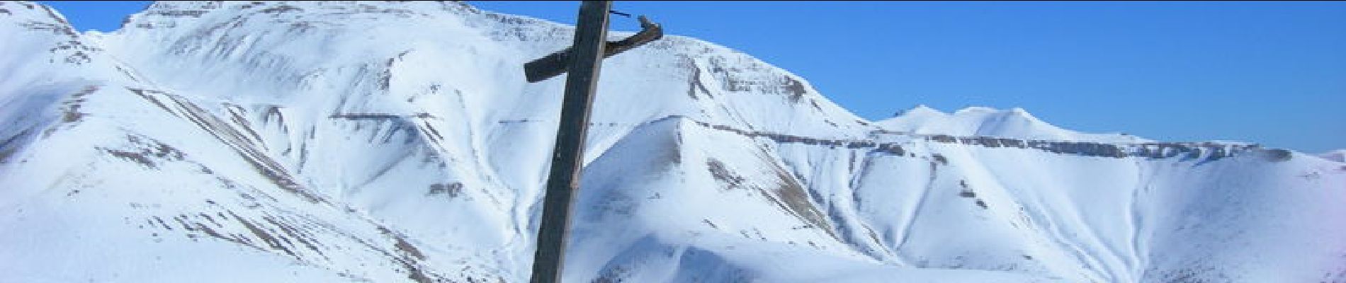
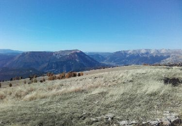
Peyresq est un joli village restauré par des universitaires belges, et vaut une visite. Le Courradour culmine à 2230m et le départ du circuit est à 1550m, près d'une grande croix, avant d'arriver au village. On suit au départ le sentier d'été, puis on bifurque dans une éclaircie de la pinède. Parcours dans la pinède puis crête dégarnie avec les sommets dominants la Foux d'Allos, et ceux de la crête des Lacs de Lignins
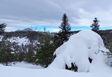
en raquettes - Photo 1")
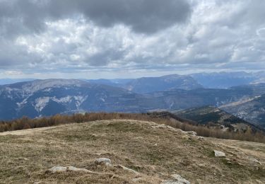
en raquettes - Photo 2")
Walking
Walking
Walking
Walking
Walking
Cross-country skiing

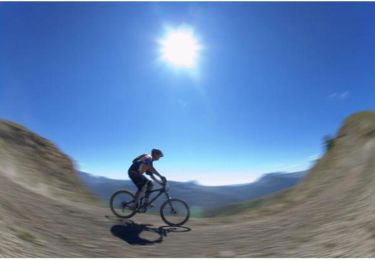
Mountain bike
Mountain bike

Walking