12.7 km | 14.6 km-effort
Lagruere
christiane01
User
Length
5.9 km
Max alt
48 m
Uphill gradient
67 m
Km-Effort
6.8 km
Min alt
23 m
Downhill gradient
62 m
Boucle
Yes
Creation date :
2019-05-06 11:54:09.036
Updated on :
2019-05-06 11:54:09.036
1h30
Difficulty : Easy
FREE GPS app for hiking
About
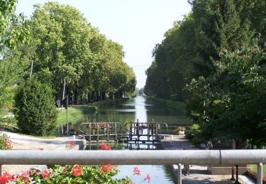
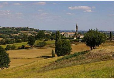
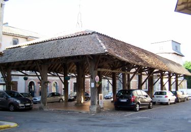
Trail Walking of 5.9 km to be discovered at New Aquitaine, Lot-et-Garonne, Lagruère. This trail is proposed by christiane01.
Positioning
Country:
France
Region :
New Aquitaine
Department/Province :
Lot-et-Garonne
Municipality :
Lagruère
Location:
Unknown
Start:(Dec)
Start:(UTM)
281148 ; 4919264 (31T) N.
Comments
Trails nearby
Le Mas-d'Agenais, du canal à la forêt - 12.8 km
On foot
Easy
Le Mas-d'Agenais,
New Aquitaine,
Lot-et-Garonne,
France
3h 19min
Yes
Lagruère, dans la boucle de l'Ourbise - 10.6 km
On foot
Easy
Lagruère,
New Aquitaine,
Lot-et-Garonne,
France
10.5 km | 11.6 km-effort
2h 37min
Yes
Calonges, balade dans la plaine de la Garonne - 11.8 km
On foot
Easy
Calonges,
New Aquitaine,
Lot-et-Garonne,
France
4.2 km | 4.6 km-effort
1h 3min
No
Mas d'Agenais-Agen
Bicycle tourism
Medium
Le Mas-d'Agenais,
New Aquitaine,
Lot-et-Garonne,
France
52 km | 58 km-effort
Unknown
No
Le Mas-d'Agenais - Les princes des sous-bois en forêt du Mas (Variante) - 5.4 km
On foot
Easy
Le Mas-d'Agenais,
New Aquitaine,
Lot-et-Garonne,
France
5.4 km | 6 km-effort
1h 22min
Yes
Lagruère, promenade sur les berges de Garonne - 9.8 km
On foot
Easy
Lagruère,
New Aquitaine,
Lot-et-Garonne,
France
9.7 km | 10.9 km-effort
2h 28min
Yes
Tonneins
Walking
Very easy
Tonneins,
New Aquitaine,
Lot-et-Garonne,
France
5.8 km | 6.5 km-effort
1h 39min
Yes
Liaison Pays du Dropt - Voie Verte du Canal de Garonne
Cycle
Medium
Le Mas-d'Agenais,
New Aquitaine,
Lot-et-Garonne,
France
59 km | 68 km-effort
3h 0min
No
Tonneins, Garonne d'hier et d'aujourd'hui - Pays Val de Garonne - Gascogne
Mountain bike
Difficult
Tonneins,
New Aquitaine,
Lot-et-Garonne,
France
13.7 km | 16.9 km-effort
1h 45min
Yes