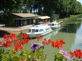
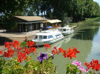
Lagruère, Lot-et-Garonne: Best trails, routes and walks

Lagruère: Discover the best trails: 8 hiking trails and 4 bike and mountain-bike routes. All these trails, routes and outdoor activities are available in our SityTrail applications for smartphones and tablets.


The best trails (12)
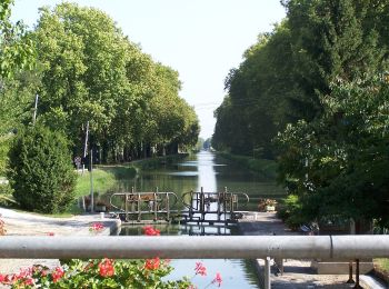
Trail On foot Lagruère - Lagruère, dans la boucle de l'Ourbise - 10.6 km - Photo
On foot 10.515
Km
GUIDE+

On foot

Easy
Lagruère, New Aquitaine, Lot-et-Garonne, France
10.5 km | 11.6 km-effort
2h 37min
78 m
81 m
Yes
SityTrail - itinéraires balisés pédestres

• Trail created by CDT47.

Trail On foot Lagruère - Lagruère, promenade sur les berges de Garonne - 9.8 km - Photo
On foot 9.692
Km
GUIDE+

On foot

Easy
Lagruère, New Aquitaine, Lot-et-Garonne, France
9.7 km | 10.9 km-effort
2h 28min
90 m
86 m
Yes
SityTrail - itinéraires balisés pédestres

• Trail created by CDT47.

Trail Mountain bike Lagruère - Lagruère, promenade sur les berges de Garonne - Pays Val de Garonne - Gascogne - Photo
Mountain bike 9.71
Km

Mountain bike

Medium
Lagruère, New Aquitaine, Lot-et-Garonne, France
9.7 km | 10.8 km-effort
1h 15min
82 m
84 m
Yes
tracegps

Trail Walking Lagruère - Lagruère, promenade sur les berges de Garonne - Pays Val de Garonne - Gascogne - Photo
Walking 9.71
Km

Walking

Medium
Lagruère, New Aquitaine, Lot-et-Garonne, France
9.7 km | 10.8 km-effort
2h 30min
82 m
84 m
Yes
tracegps

Trail Mountain bike Lagruère - Lagruère, balade entre la Garonne et son Canal - Pays Val de Garonne - Gascogne - Photo
Mountain bike 5.058
Km

Mountain bike

Easy
Lagruère, New Aquitaine, Lot-et-Garonne, France
5.1 km | 5.8 km-effort
40min
55 m
55 m
Yes
tracegps

Trail Walking Lagruère - Lagruère, balade entre la Garonne et son Canal - Pays Val de Garonne - Gascogne - Photo
Walking 5.058
Km

Walking

Easy
Lagruère, New Aquitaine, Lot-et-Garonne, France
5.1 km | 5.8 km-effort
1h 45min
55 m
55 m
Yes
tracegps

Trail Mountain bike Lagruère - Lagruère, dans la boucle de l'Ourbise - Pays Val de Garonne - Gascogne - Photo
Mountain bike 10.521
Km

Mountain bike

Medium
Lagruère, New Aquitaine, Lot-et-Garonne, France
10.5 km | 11.5 km-effort
1h 49min
74 m
77 m
Yes
tracegps

Trail Walking Lagruère - Lagruère, dans la boucle de l'Ourbise - Pays Val de Garonne - Gascogne - Photo
Walking 10.521
Km

Walking

Medium
Lagruère, New Aquitaine, Lot-et-Garonne, France
10.5 km | 11.5 km-effort
2h 45min
74 m
77 m
Yes
tracegps

Trail Walking Lagruère - ASPTT Lagruere - Photo
Walking 12.003
Km

Walking

Very easy
Lagruère, New Aquitaine, Lot-et-Garonne, France
12 km | 13.7 km-effort
2h 27min
125 m
121 m
Yes
Elbe

Trail Walking Lagruère - lagruyere  - Photo
Walking 6.878
Km

Walking

Very easy
Lagruère, New Aquitaine, Lot-et-Garonne, France
6.9 km | 7.9 km-effort
1h 59min
73 m
78 m
No
christiane01

Trail Walking Lagruère - Lagruere - Photo
Walking 5.945
Km

Walking

Easy
Lagruère, New Aquitaine, Lot-et-Garonne, France
5.9 km | 6.8 km-effort
1h 30min
67 m
62 m
Yes
christiane01

Trail Mountain bike Lagruère - tracé vélo 2016 étape 14 - Photo
Mountain bike 96.538
Km

Mountain bike

Easy
Lagruère, New Aquitaine, Lot-et-Garonne, France
97 km | 112 km-effort
10h 8min
1151 m
1082 m
No
lagardienne

12 trails displayed on 12

FREE GPS app for hiking

Logo SityTrail SityTrail

IGN / Geographical institutes

Download SityTrail from the App Store Download SityTrail from Google Play

Logo SityTrail SityTrail World

The world is yours!

Download SityTrail from the App Store Download SityTrail from Google Play Download SityTrail on Huawei AppGallery

Activities

Close
My subscriptions