


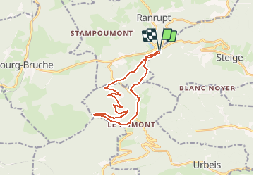

7.8 km | 12.6 km-effort

User


FREE GPS app for hiking
 SityTrail
IGN / Geographical institutes
SityTrail World
The world is yours!
Trail Walking of 11.6 km to be discovered at Grand Est, Bas-Rhin, Steige. This trail is proposed by tracegps.
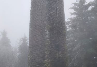
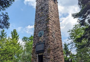
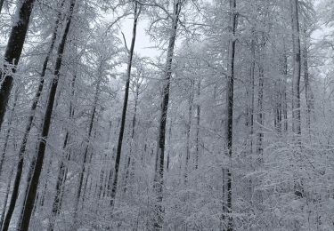
Au Col de Steige, prendre la direction du village de Steige. Dés que l'on voit le chemin rectangle bleu qui part à droite, le suivre jusqu'au carrefour. Prendre le sentier de droite. Aux abords de la croix Noél, emprunter le sentier à gauche (rectangle bleu)... La suite et d’autres informations et photos sont disponibles ICI Balade proposée par « Alsace en randonnée.» Balisage : la plupart des sentiers dans la montagne vosgienne sont tracés, entretenus et balisés bénévolement par les membres du Club Vosgien, d'une façon tout à fait remarquable. Les différents signes en couleur (rectangle, disque, triangle, croix, etc...) sont reproduits sur la carte.

Walking
Horseback riding
Walking

Horseback riding
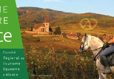
Horseback riding
Walking
Walking
Snowshoes
Walking