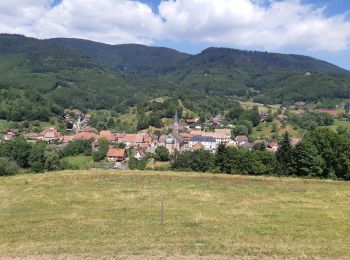
Steige, Bas-Rhin: Best trails, routes and walks

1 comments

Steige: Discover the best trails: 6 hiking trails. All these trails, routes and outdoor activities are available in our SityTrail applications for smartphones and tablets.


The best trails (7)
Trail Walking Steige - Steige  blanc  - Photo
Walking 7.759
Km

Walking

Medium
(1)
Steige, Grand Est, Bas-Rhin, France
7.8 km | 12.6 km-effort
2h 7min
363 m
362 m
Yes
jean charles daniel.

Trail Walking Steige - Steige - Au Blanc Noyer - Photo
Walking 8.588
Km

Walking

Easy
Steige, Grand Est, Bas-Rhin, France
8.6 km | 0 m-effort
2h 36min
0 m
0 m
Yes
VacheKiri67

Trail Walking Steige - Col de Steige - Photo
Walking 11.629
Km

Walking

Difficult
Steige, Grand Est, Bas-Rhin, France
11.6 km | 18.4 km-effort
2h 30min
502 m
511 m
Yes
tracegps

Trail sport Steige - Steige  - Photo
sport 4.861
Km

sport

Very easy
Steige, Grand Est, Bas-Rhin, France
4.9 km | 7.1 km-effort
Unknown
165 m
170 m
Yes
juliengsell

Trail Walking Steige - Steige 19 270m +932m - Photo
Walking 19.271
Km

Walking

Difficult
Steige, Grand Est, Bas-Rhin, France
19.3 km | 32 km-effort
6h 30min
932 m
933 m
Yes
DanielROLLET

Trail Walking Steige - Steige 18 870m +895m - Photo
Walking 18.87
Km

Walking

Difficult
Steige, Grand Est, Bas-Rhin, France
18.9 km | 31 km-effort
7h 19min
895 m
900 m
Yes
DanielROLLET

Trail Walking Steige - Steige Ranrupt - Photo
Walking 4.811
Km

Walking

Medium
Steige, Grand Est, Bas-Rhin, France
4.8 km | 7.1 km-effort
1h 37min
210 m
63 m
No
banitz

7 trails displayed on 7

FREE GPS app for hiking

Logo SityTrail SityTrail

IGN / Geographical institutes

Download SityTrail from the App Store Download SityTrail from Google Play

Logo SityTrail SityTrail World

The world is yours!

Download SityTrail from the App Store Download SityTrail from Google Play Download SityTrail on Huawei AppGallery

Activities

Close
My subscriptions