


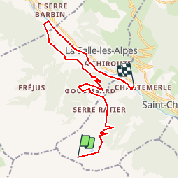

7.9 km | 13.8 km-effort

User


FREE GPS app for hiking
 SityTrail
IGN / Geographical institutes
SityTrail World
The world is yours!
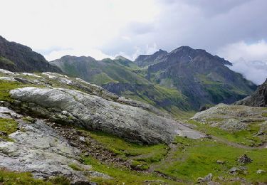
Trail Mountain bike of 15.1 km to be discovered at Provence-Alpes-Côte d'Azur, Hautes-Alpes, Saint-Chaffrey. This trail is proposed by tracegps.
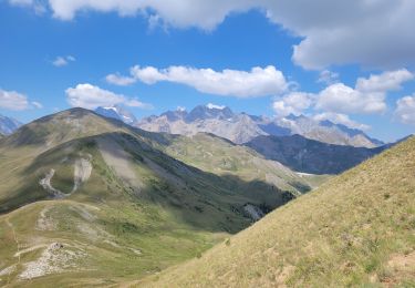
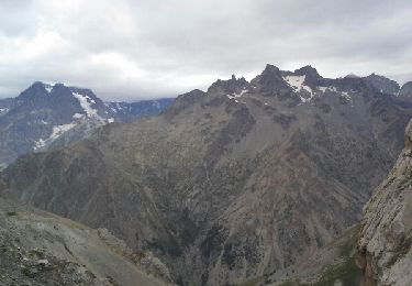
Monter en benne pour faire une via, c’est un peu limite. Mais redescendre à l’identique, c’est franchement douteux… N’ayez plus honte, opté pour la Via VTTerrata attitude ! Au départ de Chantemerle, il n’est pas rare de voir des VTTistes prendre des pass journée pour la benne, afin de dévaler sans cesse les pistes. A moins de disposer d’une monture en alliage de la Nasa et des membres bioniques, ne vous risquez par à cette étrange activité qu’est le VTT de descente. Sauf si c’est l’occasion auparavant d’enchainer deux petites via sans autres prétention que s’amuser... En somme, une agréable journée, sans beaucoup de suée, mais avec de la variété, des panoramas agréablement, un tronçon de GR débonnaire et le sentiment d’avoir fait « différemment »… Toutes les descriptions et infos utiles sont sur Montagne Cool

Walking
Walking
Walking
Trail
Running
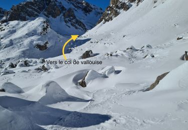
Touring skiing
Touring skiing
Touring skiing
Touring skiing