Thorame-Haute, Alpes-de-Haute-Provence, Winter sports: Best trails, routes and walks

1 comments

Thorame-Haute: Discover the best trails: 1 cross-country skiing and 4 snowshoes. All these trails, routes and outdoor activities are available in our SityTrail applications for smartphones and tablets.


The best trails (5)
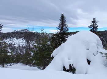
Trail Cross-country skiing Thorame-Haute - ski de fond colle baudet - Photo
Cross-country skiing 12.839
Km

Cross-country skiing

Very easy
Thorame-Haute, Provence-Alpes-Côte d'Azur, Alpes-de-Haute-Provence, France
12.8 km | 16.3 km-effort
2h 38min
233 m
338 m
No
Marchopier

Trail Snowshoes Thorame-Haute - Le Courradour (2230m)en raquettes - Photo
Snowshoes 3.682
Km

Snowshoes

Medium
Thorame-Haute, Provence-Alpes-Côte d'Azur, Alpes-de-Haute-Provence, France
3.7 km | 9.7 km-effort
3h 30min
605 m
0 m
No
tracegps

Trail Snowshoes Thorame-Haute - La Colle St Michel - Puy de Rent - Photo
Snowshoes 5.535
Km

Snowshoes

Easy
Thorame-Haute, Provence-Alpes-Côte d'Azur, Alpes-de-Haute-Provence, France
5.5 km | 12.3 km-effort
3h 8min
510 m
510 m
Yes
GrouGary

• A/R montée régulière en neige et vent très fort

Trail Snowshoes Thorame-Haute - 04 PEYRESQ, le tour du Courradour  - Photo
Snowshoes 9.97
Km

Snowshoes

Medium
Thorame-Haute, Provence-Alpes-Côte d'Azur, Alpes-de-Haute-Provence, France
10 km | 18.5 km-effort
6h 0min
637 m
653 m
No
Cosmos

Trail Snowshoes Thorame-Haute - le Puy de Rent - Photo
Snowshoes 6.989
Km

Snowshoes

Medium
Thorame-Haute, Provence-Alpes-Côte d'Azur, Alpes-de-Haute-Provence, France
7 km | 14.5 km-effort
3h 2min
565 m
566 m
Yes
FPOL04

5 trails displayed on 5

FREE GPS app for hiking

Logo SityTrail SityTrail

IGN / Geographical institutes

Download SityTrail from the App Store Download SityTrail from Google Play

Logo SityTrail SityTrail World

The world is yours!

Download SityTrail from the App Store Download SityTrail from Google Play Download SityTrail on Huawei AppGallery

Activities

Close
My subscriptions