Bouches-du-Rhône, Provence-Alpes-Côte d'Azur: Best trails, routes and walks

921 comments

Bouches-du-Rhône: Discover the best trails: 9,334 hiking trails, 1,710 bike and mountain-bike routes and 99 equestrian circuits. All these trails, routes and outdoor activities are available in our SityTrail applications for smartphones and tablets.


The best trails (11773)
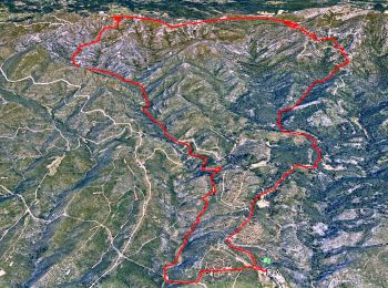
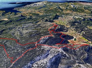
Trail Walking Allauch - SityTrail - le Pilon - Photo
Walking 13.665
Km
GUIDE

Walking

Medium
(1)
Allauch, Provence-Alpes-Côte d'Azur, Bouches-du-Rhône, France
13.7 km | 20 km-effort
6h 0min
481 m
481 m
Yes
affinetataille

• Parking chemin des Gages Allauch

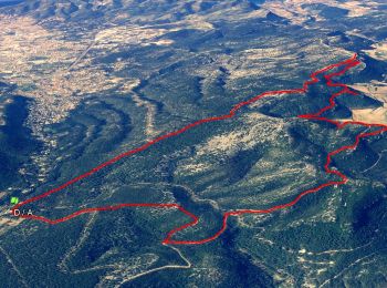
Trail Walking Roquefort-la-Bédoule - Grand Caunet, le Montounier - Photo
Walking 16.532
Km
GUIDE

Walking

Medium
(1)
Roquefort-la-Bédoule, Provence-Alpes-Côte d'Azur, Bouches-du-Rhône, France
16.5 km | 24 km-effort
6h 0min
538 m
539 m
Yes
affinetataille

• Une jolie boucle qui vaut par les points de vue qui se succèdent tout son long. Du Mont Caume au Garlaban en passant ...
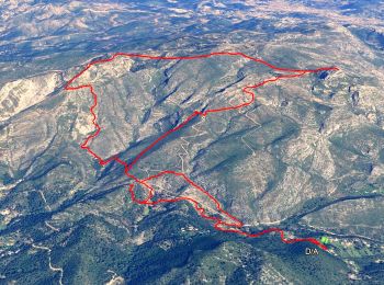
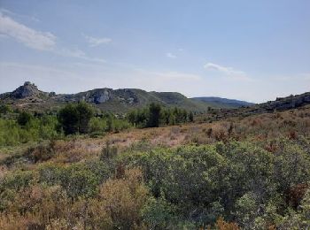
Trail Walking Aubagne - SityTrail - Le garlaban - Aubagne - Photo
Walking 14.22
Km
GUIDE

Walking

Difficult
(1)
Aubagne, Provence-Alpes-Côte d'Azur, Bouches-du-Rhône, France
14.2 km | 24 km-effort
7h 0min
708 m
710 m
Yes
affinetataille

• Belle randonnée niveau N3S. Magnifiques points de vues tout au long du parcours. Passage par points de tournages des ...

Trail Walking Saint-Rémy-de-Provence - Alpilles  - Photo
Walking 19.157
Km
GUIDE

Walking

Difficult
(1)
Saint-Rémy-de-Provence, Provence-Alpes-Côte d'Azur, Bouches-du-Rhône, France
19.2 km | 27 km-effort
5h 7min
541 m
614 m
No
nadinebondoux

Trail Road bike Cassis - 7909608-TRIMRS2017_Parcours Bike L V5 - Photo
Road bike 20.947
Km
GUIDE+

Road bike

Medium
(1)
Cassis, Provence-Alpes-Côte d'Azur, Bouches-du-Rhône, France
21 km | 26 km-effort
1h 31min
408 m
403 m
No
EVTT PROVENCE

Trail Mountain bike Marseille - OR-6270829--Marseille:Trilogie des Calanques - Photo
Mountain bike 28.305
Km
GUIDE+

Mountain bike

Difficult
(1)
Marseille, Provence-Alpes-Côte d'Azur, Bouches-du-Rhône, France
28 km | 35 km-effort
3h 30min
503 m
504 m
Yes
EVTT PROVENCE

Trail Walking Orgon - PF-Orgon - La Plaine des Alpilles - Photo
Walking 16.259
Km
GUIDE

Walking

Medium
(1)
Orgon, Provence-Alpes-Côte d'Azur, Bouches-du-Rhône, France
16.3 km | 21 km-effort
5h 13min
367 m
366 m
Yes
MicDul

Trail Mountain bike Trets - les contreforts du mont Olympe - Photo
Mountain bike 11.78
Km
GUIDE

Mountain bike

Easy
(1)
Trets, Provence-Alpes-Côte d'Azur, Bouches-du-Rhône, France
11.8 km | 15.5 km-effort
2h 52min
278 m
279 m
Yes
amiral13

Trail Walking Éguilles - PF-Eguilles, balade dans les collines - Photo
Walking 13.086
Km
GUIDE

Walking

Easy
(1)
Éguilles, Provence-Alpes-Côte d'Azur, Bouches-du-Rhône, France
13.1 km | 16.1 km-effort
3h 29min
228 m
228 m
Yes
MicDul

• Départ : parking Espace Georges Duby
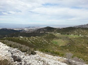
Trail Walking Marseille - Luminy: Le chemin du Centaure - Photo
Walking 8.62
Km
GUIDE

Walking

Easy
(1)
Marseille, Provence-Alpes-Côte d'Azur, Bouches-du-Rhône, France
8.6 km | 12.5 km-effort
2h 12min
288 m
288 m
Yes
lhomme.ph

Trail Walking Cassis -  3 Calanques 8/01/25 - Photo
Walking 11.169
Km
GUIDE

Walking

(1)
Cassis, Provence-Alpes-Côte d'Azur, Bouches-du-Rhône, France
11.2 km | 17.3 km-effort
4h 30min
461 m
461 m
Yes
MicDul

• grp_trc:

Trail Walking Alleins - PF-Alleins - Chapelle Saint-Jean - Rousset - Tour Vieille - Vallon de Valcros - MR - Photo
Walking 7.095
Km
GUIDE

Walking

Easy
(1)
Alleins, Provence-Alpes-Côte d'Azur, Bouches-du-Rhône, France
7.1 km | 9 km-effort
2h 30min
146 m
145 m
Yes
MicDul

Trail Walking Ceyreste - Autour du Montounier 2eme version - Photo
Walking 15.748
Km
GUIDE

Walking

Medium
(1)
Ceyreste, Provence-Alpes-Côte d'Azur, Bouches-du-Rhône, France
15.7 km | 24 km-effort
6h 0min
595 m
597 m
Yes
affinetataille

Trail Walking Roquefort-la-Bédoule - SityTrail - Grand Caunet, Cabanons, Vigie , Grotte Raymond, Ruines roquefort, Chapelle St andré - Photo
Walking 14.153
Km
GUIDE

Walking

Easy
(1)
Roquefort-la-Bédoule, Provence-Alpes-Côte d'Azur, Bouches-du-Rhône, France
14.2 km | 19.9 km-effort
6h 0min
432 m
433 m
Yes
affinetataille

• .

Trail Walking Eyguières - Tour du Mont Menu - MR - Photo
Walking 8.788
Km
GUIDE

Walking

Easy
(1)
Eyguières, Provence-Alpes-Côte d'Azur, Bouches-du-Rhône, France
8.8 km | 11.4 km-effort
2h 34min
193 m
192 m
Yes
MicDul

Trail Walking Charleval - PF-Charleval - Les Costes - Bois des Taillades - Cuou de Peyrou - Photo
Walking 5.225
Km
GUIDE

Walking

Easy
(1)
Charleval, Provence-Alpes-Côte d'Azur, Bouches-du-Rhône, France
5.2 km | 7.2 km-effort
2h 27min
148 m
148 m
Yes
MicDul

Trail Walking Cassis - SityTrail - Les 3 Calanques - Cassis - Photo
Walking 16.551
Km
GUIDE

Walking

Difficult
(1)
Cassis, Provence-Alpes-Côte d'Azur, Bouches-du-Rhône, France
16.6 km | 25 km-effort
6h 0min
603 m
602 m
Yes
affinetataille

Trail Walking Cassis - SityTrail - cassis la couronne - Photo
Walking 16.138
Km
GUIDE

Walking

Medium
(3)
Cassis, Provence-Alpes-Côte d'Azur, Bouches-du-Rhône, France
16.1 km | 24 km-effort
6h 0min
556 m
556 m
Yes
affinetataille

Trail Mountain bike Fuveau - Le Regagnas par Belcodène retour par Kirbon et Les Michels D+715m - Photo
Mountain bike 33.486
Km

Mountain bike

Very difficult
(1)
Fuveau, Provence-Alpes-Côte d'Azur, Bouches-du-Rhône, France
33 km | 43 km-effort
2h 59min
715 m
718 m
Yes
ericberlin

Trail Walking Fuveau - Canal par le chemin de fer - Photo
Walking 16.811
Km

Walking

Very difficult
(1)
Fuveau, Provence-Alpes-Côte d'Azur, Bouches-du-Rhône, France
16.8 km | 21 km-effort
4h 40min
279 m
281 m
Yes
ericberlin

20 trails displayed on 11773

FREE GPS app for hiking

Logo SityTrail SityTrail

IGN / Geographical institutes

Download SityTrail from the App Store Download SityTrail from Google Play

Logo SityTrail SityTrail World

The world is yours!

Download SityTrail from the App Store Download SityTrail from Google Play Download SityTrail on Huawei AppGallery

Activities

Nearby regions

Close
My subscriptions