
Hochtaunuskreis, Hesse: Best trails, routes and walks
Hochtaunuskreis: Discover the best trails: 24 hiking trails. All these trails, routes and outdoor activities are available in our SityTrail applications for smartphones and tablets.
The best trails (25)
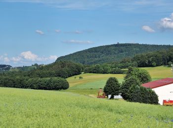
Km
On foot


• Trail created by Naturpark Hochtaunus. Symbol: blauer Schmetterling auf weißem Grund
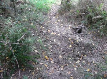
Km
On foot


• Trail created by Naturpark Hochtaunus. Symbol: Hase auf weißem Grund
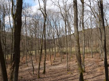
Km
On foot


• Trail created by Naturpark Hochtaunus. Symbol: roter Pilz auf weißem Grund
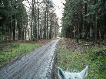
Km
On foot


• Trail created by Naturpark Hochtaunus. Symbol: grünes Eichenblatt auf weißem Grund
Km
On foot


• Trail created by Naturpark Taunus. Symbol: Roter Vogel auf weißem Grund
Km
On foot


• Trail created by Naturpark Hochtaunus. Symbol: schwarzer Hirschkäfer auf weißem Grund
Km
On foot


• Trail created by Naturpark Hochtaunus. Symbol: Rehbock rot auf weißem Grund
Km
On foot


• Trail created by Naturpark Hochtaunus. Symbol: Fichte grün auf weißem Grund

Km
On foot


• Trail created by Naturpark Hochtaunus. Symbol: Forelle Blau auf weißem Grund
Km
On foot


• Trail created by Naturpark Hochtaunus. Symbol: Rehbockkopf rot auf weißem Grund
Km
On foot


• Trail created by Naturpark Hochtaunus. Symbol: Keiler schwarz auf weißem Grund

Km
On foot


• Trail created by Naturpark Hochtaunus. Symbol: Libelle blau auf weißem Grund
Km
On foot


• Trail created by Naturpark Taunus. Symbol: Schwarzer Käfer auf weißem Grund
Km
On foot


• Trail created by Naturpark Hochtaunus. Symbol: Hirschkäfer schwarz auf weißem Grund
Km
On foot


• Trail created by Naturpark Hochtaunus. Symbol: Grünes Eichenblatt auf weißem Grund

Km
On foot


• Trail created by Stadt Oberursel. Symbol: stilisiertes Mühlrad, Wasserlauf und Wasserflohkrebs
Km
On foot


• Trail created by Taunusklub Oberursel. Symbol: Keltenkopf in schwarzem Ring
Km
On foot


• Trail created by Naturpark Hochtaunus. Symbol: Geweih schwarz
Km
On foot


• Trail created by Naturpark Hochtaunus. Symbol: Erlenblatt
Km
On foot


20 trails displayed on 25
FREE GPS app for hiking


 SityTrail


