Hochtaunuskreis, Hesse, On foot: Best trails, routes and walks

Hochtaunuskreis: Discover the best trails: 23 on foot and 1 walking. All these trails, routes and outdoor activities are available in our SityTrail applications for smartphones and tablets.


The best trails (24)
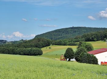
Trail On foot Weilrod - Rundweg Mauloff-Finsterthal-Riedelbach - Photo
On foot 7.005
Km
PRO

On foot

Easy
Weilrod, Hesse, Hochtaunuskreis, Germany
7 km | 9.7 km-effort
2h 11min
199 m
198 m
Yes
SityTrail - itinéraires balisés pédestres

• Trail created by Naturpark Hochtaunus. Symbol: blauer Schmetterling auf weißem Grund
Trail On foot Usingen - Hasenberg - Photo
On foot 6.336
Km
PRO

On foot

Easy
Usingen, Hesse, Hochtaunuskreis, Germany
6.3 km | 8.3 km-effort
1h 52min
146 m
139 m
Yes
SityTrail - itinéraires balisés pédestres

• Trail created by Naturpark Hochtaunus. Symbol: Hase auf weißem Grund
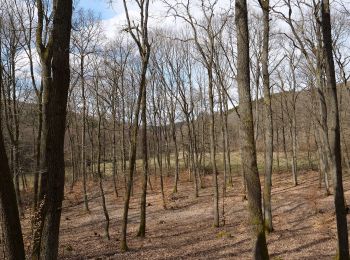
Trail On foot Neu-Anspach - Rund um den Langhals - Photo
On foot 4.889
Km
PRO

On foot

Easy
Neu-Anspach, Hesse, Hochtaunuskreis, Germany
4.9 km | 6.9 km-effort
1h 33min
150 m
149 m
Yes
SityTrail - itinéraires balisés pédestres

• Trail created by Naturpark Hochtaunus. Symbol: roter Pilz auf weißem Grund
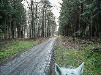
Trail On foot Weilrod - Rundweg Mauloff, Riedelbach, Tenne - Photo
On foot 8.941
Km
PRO

On foot

Easy
Weilrod, Hesse, Hochtaunuskreis, Germany
8.9 km | 11.9 km-effort
2h 42min
223 m
222 m
Yes
SityTrail - itinéraires balisés pédestres

• Trail created by Naturpark Hochtaunus. Symbol: grünes Eichenblatt auf weißem Grund
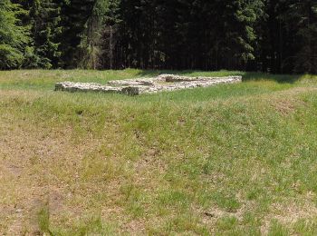
Trail On foot Schmitten - Sandplacken: Milan - Photo
On foot 3.542
Km
PRO

On foot

Easy
Schmitten, Hesse, Hochtaunuskreis, Germany
3.5 km | 4.8 km-effort
1h 5min
92 m
94 m
Yes
SityTrail - itinéraires balisés pédestres

• Trail created by Naturpark Taunus. Symbol: Roter Vogel auf weißem Grund
Trail On foot Wehrheim - Kransberg-Kreuzkapelle-Jungholz - Photo
On foot 3.728
Km
PRO

On foot

Easy
Wehrheim, Hesse, Hochtaunuskreis, Germany
3.7 km | 5.5 km-effort
1h 15min
144 m
108 m
No
SityTrail - itinéraires balisés pédestres

• Trail created by Naturpark Hochtaunus. Symbol: schwarzer Hirschkäfer auf weißem Grund
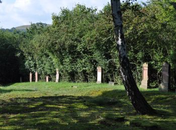
Trail On foot Usingen - Bonseweg - Photo
On foot 5.049
Km
PRO

On foot

Easy
Usingen, Hesse, Hochtaunuskreis, Germany
5 km | 6.4 km-effort
1h 27min
99 m
105 m
Yes
SityTrail - itinéraires balisés pédestres

• Trail created by Naturpark Hochtaunus. Symbol: Rehbock rot auf weißem Grund
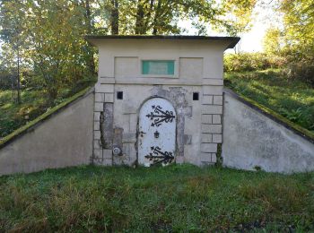
Trail On foot Weilrod - Um den Hardtküppel - Photo
On foot 5.126
Km
PRO

On foot

Easy
Weilrod, Hesse, Hochtaunuskreis, Germany
5.1 km | 6.5 km-effort
1h 28min
102 m
96 m
No
SityTrail - itinéraires balisés pédestres

• Trail created by Naturpark Hochtaunus. Symbol: Fichte grün auf weißem Grund

Trail On foot Weilrod - Rödern - Sattelbachtal - Heinzelberg - Lenchen - Photo
On foot 4.048
Km
PRO

On foot

Easy
Weilrod, Hesse, Hochtaunuskreis, Germany
4 km | 5.5 km-effort
1h 15min
104 m
132 m
No
SityTrail - itinéraires balisés pédestres

• Trail created by Naturpark Hochtaunus. Symbol: Forelle Blau auf weißem Grund
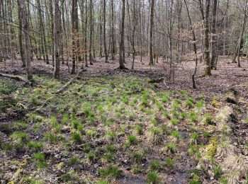
Trail On foot Bad Homburg vor der Höhe - Rehbockweg - Photo
On foot 5.116
Km
PRO

On foot

Easy
Bad Homburg vor der Höhe, Hesse, Hochtaunuskreis, Germany
5.1 km | 6.6 km-effort
1h 29min
110 m
110 m
Yes
SityTrail - itinéraires balisés pédestres

• Trail created by Naturpark Hochtaunus. Symbol: Rehbockkopf rot auf weißem Grund
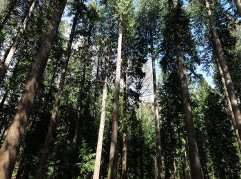
Trail On foot Bad Homburg vor der Höhe - Keilerweg - Photo
On foot 6.499
Km
PRO

On foot

Easy
Bad Homburg vor der Höhe, Hesse, Hochtaunuskreis, Germany
6.5 km | 8.5 km-effort
1h 55min
142 m
160 m
No
SityTrail - itinéraires balisés pédestres

• Trail created by Naturpark Hochtaunus. Symbol: Keiler schwarz auf weißem Grund

Trail On foot Bad Homburg vor der Höhe - Libellenweg - Photo
On foot 3.398
Km
PRO

On foot

Easy
Bad Homburg vor der Höhe, Hesse, Hochtaunuskreis, Germany
3.4 km | 4.5 km-effort
1h 1min
76 m
95 m
No
SityTrail - itinéraires balisés pédestres

• Trail created by Naturpark Hochtaunus. Symbol: Libelle blau auf weißem Grund
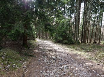
Trail On foot Schmitten - Sandplacken: Hirschkäfer - Photo
On foot 5.272
Km
PRO

On foot

Easy
Schmitten, Hesse, Hochtaunuskreis, Germany
5.3 km | 6.8 km-effort
1h 32min
111 m
113 m
Yes
SityTrail - itinéraires balisés pédestres

• Trail created by Naturpark Taunus. Symbol: Schwarzer Käfer auf weißem Grund
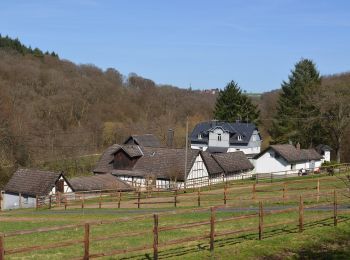
Trail On foot Weilrod - Helgenberg- Forst Laubach - Photo
On foot 6.366
Km
PRO

On foot

Easy
Weilrod, Hesse, Hochtaunuskreis, Germany
6.4 km | 8.6 km-effort
1h 56min
166 m
166 m
Yes
SityTrail - itinéraires balisés pédestres

• Trail created by Naturpark Hochtaunus. Symbol: Hirschkäfer schwarz auf weißem Grund
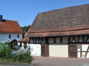
Trail On foot Weilrod - Eichenblatt - Photo
On foot 6.936
Km
PRO

On foot

Easy
Weilrod, Hesse, Hochtaunuskreis, Germany
6.9 km | 8.9 km-effort
2h 1min
145 m
149 m
Yes
SityTrail - itinéraires balisés pédestres

• Trail created by Naturpark Hochtaunus. Symbol: Grünes Eichenblatt auf weißem Grund
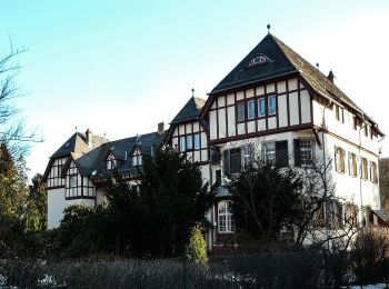
Trail On foot Oberursel - Urselbach Mühlenwanderweg - Photo
On foot 3.891
Km
PRO

On foot

Easy
Oberursel, Hesse, Hochtaunuskreis, Germany
3.9 km | 4.8 km-effort
1h 6min
73 m
68 m
No
SityTrail - itinéraires balisés pédestres

• Trail created by Stadt Oberursel. Symbol: stilisiertes Mühlrad, Wasserlauf und Wasserflohkrebs
Trail On foot Oberursel - Keltenrundwanderweg - Photo
On foot 4.095
Km
PRO

On foot

Easy
Oberursel, Hesse, Hochtaunuskreis, Germany
4.1 km | 6.3 km-effort
1h 26min
175 m
149 m
Yes
SityTrail - itinéraires balisés pédestres

• Trail created by Taunusklub Oberursel. Symbol: Keltenkopf in schwarzem Ring
Trail On foot Friedrichsdorf - Fuchslöcher - Lochmühle - Köpperner Tal - Photo
On foot 11.326
Km
PRO

On foot

Easy
Friedrichsdorf, Hesse, Hochtaunuskreis, Germany
11.3 km | 15.2 km-effort
3h 26min
289 m
286 m
Yes
SityTrail - itinéraires balisés pédestres

• Trail created by Naturpark Hochtaunus. Symbol: Geweih schwarz
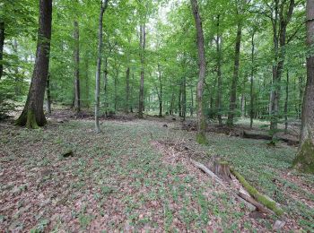
Trail On foot Friedrichsdorf - Saalburg - Gickelsburg - Batzenbäumchen - Photo
On foot 4.741
Km
PRO

On foot

Easy
Friedrichsdorf, Hesse, Hochtaunuskreis, Germany
4.7 km | 6.1 km-effort
1h 22min
101 m
99 m
Yes
SityTrail - itinéraires balisés pédestres

• Trail created by Naturpark Hochtaunus. Symbol: Erlenblatt
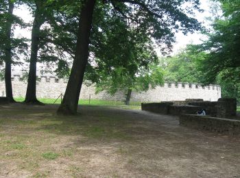
Trail On foot Friedrichsdorf - Friedrichsdorf-Saalburg - Photo
On foot 5.227
Km
PRO

On foot

Easy
Friedrichsdorf, Hesse, Hochtaunuskreis, Germany
5.2 km | 7.8 km-effort
1h 45min
233 m
64 m
No
SityTrail - itinéraires balisés pédestres

20 trails displayed on 24

FREE GPS app for hiking

Logo SityTrail SityTrail

IGN / Geographical institutes

Download SityTrail from the App Store Download SityTrail from Google Play

Logo SityTrail SityTrail World

The world is yours!

Download SityTrail from the App Store Download SityTrail from Google Play Download SityTrail on Huawei AppGallery

Activities

Nearby regions

Close
My subscriptions