Kranichfeld, Landkreis Weimarer Land: Best trails, routes and walks

Kranichfeld: Discover the best trails: 6 hiking trails. All these trails, routes and outdoor activities are available in our SityTrail applications for smartphones and tablets.


The best trails (6)
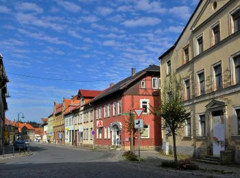
Trail On foot Kranichfeld - Kranich-Rundwanderweg 1 - Photo
On foot 7.742
Km
GUIDE+

On foot

Easy
Kranichfeld, Thuringia, Landkreis Weimarer Land, Germany
7.7 km | 10.5 km-effort
2h 23min
207 m
207 m
Yes
SityTrail - itinéraires balisés pédestres

• Trail created by Kranichfeld. Symbol: Weiße 1 auf schwarzem Hintergrund, drüber ein schwarzer Kranich auf weißem Gru...

Trail On foot Kranichfeld - Kranich-Rundwanderweg 2 - Photo
On foot 14.059
Km
GUIDE+

On foot

Easy
Kranichfeld, Thuringia, Landkreis Weimarer Land, Germany
14.1 km | 18.2 km-effort
4h 8min
310 m
310 m
Yes
SityTrail - itinéraires balisés pédestres

• Trail created by Kranichfeld. Symbol: Schwarze 2 auf gelbgrünem Hintergrund, drüber ein schwarzer Kranich auf weißem...

Trail On foot Kranichfeld - Kranich-Rundwanderweg 5 - Photo
On foot 10.998
Km
GUIDE+

On foot

Easy
Kranichfeld, Thuringia, Landkreis Weimarer Land, Germany
11 km | 15.2 km-effort
3h 26min
312 m
316 m
Yes
SityTrail - itinéraires balisés pédestres

• Trail created by Kranichfeld. Symbol: Weiße 5 auf dunkelgrünem Hintergrund, drüber ein schwarzer Kranich auf weißem ...
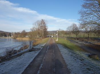
Trail On foot Kranichfeld - Kranich-Rundwanderweg 4 - Photo
On foot 11.666
Km
GUIDE+

On foot

Easy
Kranichfeld, Thuringia, Landkreis Weimarer Land, Germany
11.7 km | 14.9 km-effort
3h 23min
243 m
243 m
Yes
SityTrail - itinéraires balisés pédestres

• Trail created by Kranichfeld. Symbol: Schwarze 4 auf rosa Hintergrund, drüber ein schwarzer Kranich auf weißem Grund.
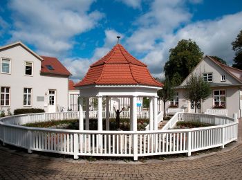
Trail On foot Kranichfeld - lokales Wegenetz Gelber Balken - Photo
On foot 12.846
Km
GUIDE+

On foot

Easy
Kranichfeld, Thuringia, Landkreis Weimarer Land, Germany
12.8 km | 16.2 km-effort
3h 41min
241 m
295 m
No
SityTrail - itinéraires balisés pédestres

• Symbol: Gelber Querbalken auf weißem Grund

Trail On foot Kranichfeld - DE-roter Balken - Photo
On foot 3.099
Km
GUIDE+

On foot

Easy
Kranichfeld, Thuringia, Landkreis Weimarer Land, Germany
3.1 km | 4.1 km-effort
55min
88 m
37 m
No
SityTrail - itinéraires balisés pédestres

• Wanderweg Roter Balken Raum Tannroda

6 trails displayed on 6

FREE GPS app for hiking

Logo SityTrail SityTrail

IGN / Geographical institutes

Download SityTrail from the App Store Download SityTrail from Google Play

Logo SityTrail SityTrail World

The world is yours!

Download SityTrail from the App Store Download SityTrail from Google Play Download SityTrail on Huawei AppGallery

Activities

Close
My subscriptions