


21 km | 27 km-effort
Pyrénées-Orientales: Discover the best trails: 2 via ferrata. All these trails, routes and outdoor activities are available in our SityTrail applications for smartphones and tablets.

Other activity


•
Other activity

Other activity
• 150 m 15 km rivière oxalide
Other activity
• départ château de Valmy
Other activity
• Montesquieu-des-Albères par le TEC
Other activity
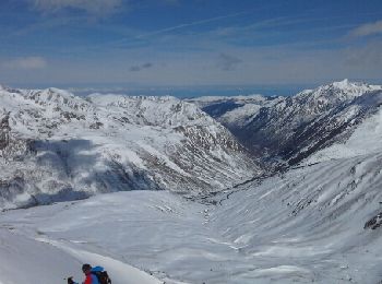
• Ski de rando
Other activity
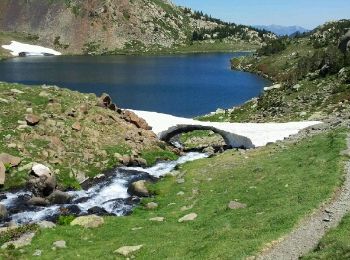
• le tour des lacslacs

Other activity
• le tour des lacslacs
Other activity
Other activity
Other activity

Other activity

Other activity
Other activity
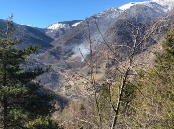
• Belle promenade au départ de la Fargue vers le col de Jou
Other activity
•
Other activity
• Circuit de 16 km autour de Villeneuve de la Raho,proposé lors de la fête de la Randonnée 2013.
Other activity
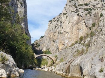
Via ferrata
Other activity
Other activity
• Notre dame Domanova et rigarda retour vinca
20 trails displayed on 189
FREE GPS app for hiking
 SityTrail
IGN / Geographical institutes
SityTrail World
The world is yours!