![](/images/other/stat-length.png)
Py, Pyrénées-Orientales, Miscellaneous: Best trails, routes and walks
2 comments
Py: Discover the best trails: . All these trails, routes and outdoor activities are available in our SityTrail applications for smartphones and tablets.
The best trails (2)
![Trail Other activity Py - 20190214 tour depuis le Py - Photo](https://media.geolcdn.com/t/350/260/ext.jpg?maxdim=2&url=https%3A%2F%2Fservices.sitytrail.com%2FGeolivesWS%2FDownloadMedia.ashx%3FTrailID%3D1110270%26Media%3D20190214131125.jpg)
![Other activity Other activity](https://static1.geolcdn.com/sitytour/trail-icons/900.png)
Km
#1 - 20190214 tour depuis le Py
Other activity
Medium
Py,
Occitania,
Pyrénées-Orientales,
France
![](/images/other/stat-length.png)
11.6 km | 18.9 km-effort
5h 0min
![](https://static1.geolcdn.com/siteimages/upload/files/1508320355ic_sort_den_pos_24dp.png)
554 m
![](https://static1.geolcdn.com/siteimages/upload/files/1508320355ic_sort_den_neg_24dp.png)
554 m
![](https://static1.geolcdn.com/siteimages/upload/files/16400158638029165_repeat_loop_refresh_sync_direction_icon.png)
Yes
ThonyM
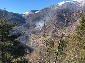
• Belle promenade au départ de la Fargue vers le col de Jou
![Trail Other activity Py - col de mantet vers mariailles par mattes rouges - Photo](https://media.geolcdn.com/t/350/260/ext.jpg?maxdim=2&url=https%3A%2F%2Fstatic1.geolcdn.com%2Fsiteimages%2Fupload%2Ffiles%2F1545311037marcheuse_200dpi.jpg)
![Other activity Other activity](https://static1.geolcdn.com/sitytour/trail-icons/900.png)
Km
#2 - col de mantet vers mariailles par mattes rouges
Other activity
Medium
Py,
Occitania,
Pyrénées-Orientales,
France
![](/images/other/stat-length.png)
13.4 km | 25 km-effort
6h 36min
![](https://static1.geolcdn.com/siteimages/upload/files/1508320355ic_sort_den_pos_24dp.png)
887 m
![](https://static1.geolcdn.com/siteimages/upload/files/1508320355ic_sort_den_neg_24dp.png)
822 m
![](https://static1.geolcdn.com/siteimages/upload/files/16400158638029165_repeat_loop_refresh_sync_direction_icon.png)
No
benraay
• Montée difficile de 700 m de dénivelé puis plat vers le refuge
2 trails displayed on 2
FREE GPS app for hiking