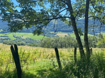
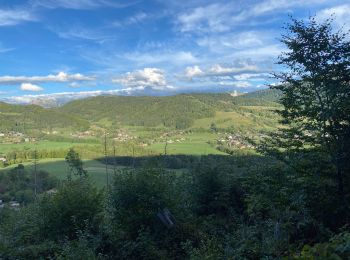
Habère-Poche, Upper Savoy, On foot: Best trails, routes and walks

4 comments

Habère-Poche: Discover the best trails: 10 walking, 1 running, 1 trail and 1 on foot. All these trails, routes and outdoor activities are available in our SityTrail applications for smartphones and tablets.


The best trails (13)
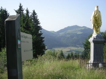
Trail Walking Habère-Poche - Mont Forchat - Habère Poche - Ramble - Photo
Walking 10.713
Km

Walking

Medium
(2)
Habère-Poche, Auvergne-Rhône-Alpes, Upper Savoy, France
10.7 km | 18.6 km-effort
4h 0min
590 m
589 m
Yes
tracegps

Trail Walking Habère-Poche - Le mont forchat  - Photo
Walking 12.439
Km

Walking

Very difficult
Habère-Poche, Auvergne-Rhône-Alpes, Upper Savoy, France
12.4 km | 19.9 km-effort
6h 49min
562 m
566 m
Yes
colomb24

Trail Walking Habère-Poche - Rando VV - Photo
Walking 13.404
Km

Walking

Medium
Habère-Poche, Auvergne-Rhône-Alpes, Upper Savoy, France
13.4 km | 19.1 km-effort
3h 39min
368 m
599 m
No
thierry.berthouze

Trail Walking Habère-Poche - moises - Photo
Walking 9.478
Km

Walking

Difficult
Habère-Poche, Auvergne-Rhône-Alpes, Upper Savoy, France
9.5 km | 17.2 km-effort
3h 13min
579 m
578 m
Yes
Bugeat

Trail Walking Habère-Poche - Mont Forchat - Photo
Walking 10.251
Km

Walking

Medium
Habère-Poche, Auvergne-Rhône-Alpes, Upper Savoy, France
10.3 km | 18 km-effort
4h 59min
579 m
577 m
Yes
Chabard

Trail Walking Habère-Poche - Tête du Char - Photo
Walking 5.34
Km

Walking

Medium
Habère-Poche, Auvergne-Rhône-Alpes, Upper Savoy, France
5.3 km | 7.8 km-effort
1h 50min
181 m
180 m
Yes
thierry.berthouze

Trail On foot Habère-Poche - GR Balcon du Léman - Photo
On foot 24.161
Km
GUIDE+

On foot

Difficult
Habère-Poche, Auvergne-Rhône-Alpes, Upper Savoy, France
24 km | 38 km-effort
8h 35min
934 m
1282 m
No
SityTrail - itinéraires balisés pédestres

Trail Walking Habère-Poche - Mont Forchat par cool du Cou en boucle - 29 juin 2019 - Photo
Walking 11.671
Km

Walking

Medium
Habère-Poche, Auvergne-Rhône-Alpes, Upper Savoy, France
11.7 km | 19.6 km-effort
5h 28min
596 m
594 m
Yes
morganee

Trail Walking Habère-Poche - Le mont forçat en boucle - Photo
Walking 12.916
Km

Walking

Very difficult
Habère-Poche, Auvergne-Rhône-Alpes, Upper Savoy, France
12.9 km | 21 km-effort
5h 32min
577 m
573 m
Yes
FILLIONJEAN

Trail Walking Habère-Poche - Col des Moises et Mont Forchat - Photo
Walking 13.73
Km

Walking

Difficult
Habère-Poche, Auvergne-Rhône-Alpes, Upper Savoy, France
13.7 km | 24 km-effort
5h 28min
775 m
776 m
Yes
cron

Trail Trail Habère-Poche - Forchat - Photo
Trail 10.622
Km

Trail

Habère-Poche, Auvergne-Rhône-Alpes, Upper Savoy, France
10.6 km | 18.3 km-effort
1h 56min
576 m
576 m
Yes
Lydie Bouvet

Trail Walking Habère-Poche - col des arces mattis Valentin ludivine antoine - Photo
Walking 3.002
Km

Walking

Easy
Habère-Poche, Auvergne-Rhône-Alpes, Upper Savoy, France
3 km | 4.6 km-effort
1h 41min
118 m
124 m
Yes
baclaude

Trail Running Habère-Poche - Mont Forchat - Photo
Running 7.625
Km

Running

Easy
(1)
Habère-Poche, Auvergne-Rhône-Alpes, Upper Savoy, France
7.6 km | 14.4 km-effort
1h 13min
507 m
506 m
Yes
mpignon

13 trails displayed on 13

FREE GPS app for hiking

Logo SityTrail SityTrail

IGN / Geographical institutes

Download SityTrail from the App Store Download SityTrail from Google Play

Logo SityTrail SityTrail World

The world is yours!

Download SityTrail from the App Store Download SityTrail from Google Play Download SityTrail on Huawei AppGallery

Activities

Close
My subscriptions