Bezirk St. Johann im Pongau, Salzburg, On foot: Best trails, routes and walks

Bezirk St. Johann im Pongau: Discover the best trails: 85 on foot and 15 walking. All these trails, routes and outdoor activities are available in our SityTrail applications for smartphones and tablets.


The best trails (100)
Trail On foot Werfenweng - Raika Runde - Photo
On foot 3.24
Km
GUIDE+

On foot

Easy
Werfenweng, Salzburg, Bezirk St. Johann im Pongau, Austria
3.2 km | 4.5 km-effort
1h 1min
98 m
77 m
No
SityTrail - itinéraires balisés pédestres

• Trail created by runnersfun.com. Symbol: Weiße Schilder mit gelbem Richtungspfeil und Beschriftung
Trail On foot Altenmarkt im Pongau - Wanderweg 83 - Photo
On foot 3.405
Km
GUIDE+

On foot

Easy
Altenmarkt im Pongau, Salzburg, Bezirk St. Johann im Pongau, Austria
3.4 km | 9.4 km-effort
2h 8min
604 m
0 m
No
SityTrail - itinéraires balisés pédestres

• Symbol: rot-weiss-rot 83

Trail On foot Großarl - Wanderweg 42 - Photo
On foot 8.762
Km
GUIDE+

On foot

Medium
Großarl, Salzburg, Bezirk St. Johann im Pongau, Austria
8.8 km | 23 km-effort
5h 12min
1413 m
9 m
No
SityTrail - itinéraires balisés pédestres

• Trail created by TVB Großarl. Symbol: rot-weiss-rot 42
Trail On foot Großarl - Wanderweg 41 - Photo
On foot 10.675
Km
GUIDE+

On foot

Medium
Großarl, Salzburg, Bezirk St. Johann im Pongau, Austria
10.7 km | 26 km-effort
5h 57min
1540 m
43 m
No
SityTrail - itinéraires balisés pédestres

• Trail created by TVB Großarl. Symbol: rot-weiss-rot 41
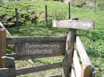
Trail On foot Großarl - Kapellenwanderweg 19 - Photo
On foot 5.483
Km
GUIDE+

On foot

Easy
Großarl, Salzburg, Bezirk St. Johann im Pongau, Austria
5.5 km | 7.8 km-effort
1h 46min
206 m
73 m
No
SityTrail - itinéraires balisés pédestres

• Trail created by TVB Großarl. http://wiki.openstreetmap.org/wiki/WikiProject_Austria/Wanderwege Symbol: Chapell
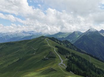
Trail On foot Großarl - Wanderweg 36 - Photo
On foot 10.74
Km
GUIDE+

On foot

Medium
Großarl, Salzburg, Bezirk St. Johann im Pongau, Austria
10.7 km | 22 km-effort
5h 0min
1129 m
9 m
No
SityTrail - itinéraires balisés pédestres

• Trail created by TVB Großarl. http://wiki.openstreetmap.org/wiki/WikiProject_Austria/Wanderwege Symbol: rot-weiss-r...
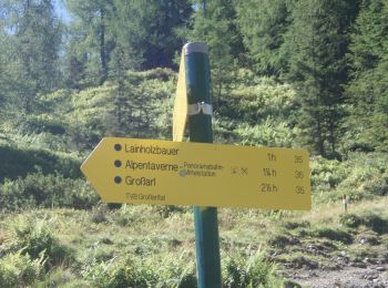
Trail On foot Großarl - Wanderweg 35 - Photo
On foot 3.546
Km
GUIDE+

On foot

Easy
Großarl, Salzburg, Bezirk St. Johann im Pongau, Austria
3.5 km | 5.4 km-effort
1h 13min
0 m
549 m
No
SityTrail - itinéraires balisés pédestres

• Trail created by TVB Großarl. http://wiki.openstreetmap.org/wiki/WikiProject_Austria/Wanderwege Symbol: rot-weiss-r...
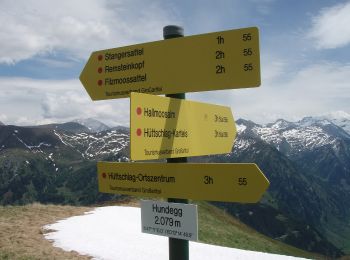
Trail On foot Hüttschlag - Wanderweg 55a - Photo
On foot 3.844
Km
GUIDE+

On foot

Easy
Hüttschlag, Salzburg, Bezirk St. Johann im Pongau, Austria
3.8 km | 6.6 km-effort
1h 29min
1 m
816 m
No
SityTrail - itinéraires balisés pédestres

• Trail created by TVB Großarltal. http://wiki.openstreetmap.org/wiki/WikiProject_Austria/Wanderwege Symbol: rot-weis...
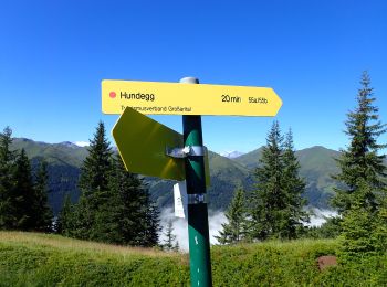
Trail On foot Großarl - Wanderweg 55 - Photo
On foot 3.816
Km
GUIDE+

On foot

Easy
Großarl, Salzburg, Bezirk St. Johann im Pongau, Austria
3.8 km | 8 km-effort
1h 48min
60 m
1065 m
No
SityTrail - itinéraires balisés pédestres

• Trail created by TVB Großarltal. http://wiki.openstreetmap.org/wiki/WikiProject_Austria/Wanderwege Symbol: rot-weis...
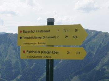
Trail On foot Großarl - Wanderweg 56b - Photo
On foot 3.201
Km
GUIDE+

On foot

Easy
Großarl, Salzburg, Bezirk St. Johann im Pongau, Austria
3.2 km | 5.8 km-effort
1h 19min
0 m
791 m
No
SityTrail - itinéraires balisés pédestres

• Trail created by TVB Großarltal. http://wiki.openstreetmap.org/wiki/WikiProject_Austria/Wanderwege Symbol: rot-weis...
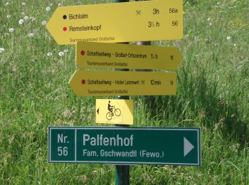
Trail On foot Großarl - Wanderweg 56a - Photo
On foot 5.563
Km
GUIDE+

On foot

Easy
Großarl, Salzburg, Bezirk St. Johann im Pongau, Austria
5.6 km | 11.3 km-effort
2h 34min
573 m
2 m
No
SityTrail - itinéraires balisés pédestres

• Trail created by TVB Großarltal. http://wiki.openstreetmap.org/wiki/WikiProject_Austria/Wanderwege Symbol: rot-weis...
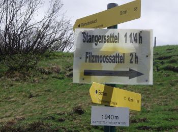
Trail On foot Großarl - Wanderweg 56 - Photo
On foot 6.447
Km
GUIDE+

On foot

Easy
Großarl, Salzburg, Bezirk St. Johann im Pongau, Austria
6.4 km | 16.7 km-effort
3h 48min
1029 m
3 m
No
SityTrail - itinéraires balisés pédestres

• Trail created by TVB Großarltal. http://wiki.openstreetmap.org/wiki/WikiProject_Austria/Wanderwege Symbol: rot-weis...
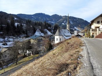
Trail On foot Mühlbach am Hochkönig - Mühlbach-Pronebenalm-Karbachalm - Photo
On foot 11.988
Km
GUIDE+

On foot

Easy
Mühlbach am Hochkönig, Salzburg, Bezirk St. Johann im Pongau, Austria
12 km | 17.9 km-effort
4h 3min
282 m
925 m
No
SityTrail - itinéraires balisés pédestres

• Trail created by TVB Hochkönig. Symbol: rot-weiss-rot
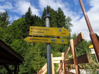
Trail On foot Mühlbach am Hochkönig - Mühlbach-Brennerköpfl - Photo
On foot 3.702
Km
GUIDE+

On foot

Easy
Mühlbach am Hochkönig, Salzburg, Bezirk St. Johann im Pongau, Austria
3.7 km | 9 km-effort
2h 2min
527 m
0 m
No
SityTrail - itinéraires balisés pédestres

• Trail created by TVB Hochkönig. Symbol: rot-weiss-rot

Trail On foot Mühlbach am Hochkönig - Mühlbach-Althaussattel - Photo
On foot 3.892
Km
GUIDE+

On foot

Easy
Mühlbach am Hochkönig, Salzburg, Bezirk St. Johann im Pongau, Austria
3.9 km | 7.4 km-effort
1h 41min
346 m
21 m
No
SityTrail - itinéraires balisés pédestres

• Trail created by TVB Hochkönig. Symbol: rot-weiss-rot

Trail On foot Bad Gastein - Naturschauweg Naßfeld (kleine Runde) - Photo
On foot 4.144
Km
GUIDE+

On foot

Easy
Bad Gastein, Salzburg, Bezirk St. Johann im Pongau, Austria
4.1 km | 4.7 km-effort
1h 3min
41 m
40 m
Yes
SityTrail - itinéraires balisés pédestres

• Trail created by Nationalpark Hohe Tauern.

Trail On foot Bad Gastein - Naturschauweg Naßfeld (große Runde) - Photo
On foot 6.7
Km
GUIDE+

On foot

Easy
Bad Gastein, Salzburg, Bezirk St. Johann im Pongau, Austria
6.7 km | 9.5 km-effort
2h 8min
207 m
206 m
Yes
SityTrail - itinéraires balisés pédestres

• Trail created by Nationalpark Hohe Tauern.
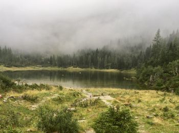
Trail On foot Hüttschlag - Naturkundlicher Lehrweg ins Schödertal - Photo
On foot 5.641
Km
GUIDE+

On foot

Easy
Hüttschlag, Salzburg, Bezirk St. Johann im Pongau, Austria
5.6 km | 10 km-effort
2h 16min
426 m
32 m
No
SityTrail - itinéraires balisés pédestres

• Trail created by Nationalpark Hohe Tauern.
Trail On foot Bad Gastein - Kulturwanderweg Römerstraßen (Mallnitzer Tauern) - Photo
On foot 6.367
Km
GUIDE+

On foot

Easy
Bad Gastein, Salzburg, Bezirk St. Johann im Pongau, Austria
6.4 km | 15 km-effort
3h 24min
859 m
2 m
No
SityTrail - itinéraires balisés pédestres

• Trail created by Nationalpark Hohe Tauern.
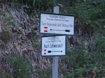
Trail On foot Sankt Veit im Pongau - Schwarzach Höhenweg - Photo
On foot 3.073
Km
GUIDE+

On foot

Easy
Sankt Veit im Pongau, Salzburg, Bezirk St. Johann im Pongau, Austria
3.1 km | 5.5 km-effort
1h 15min
228 m
50 m
No
SityTrail - itinéraires balisés pédestres

• Trail created by TVB St. Veit - Schwarzach. Symbol: rot-weiss-rot 43

20 trails displayed on 100

Close
My subscriptions