


3.1 km | 5.5 km-effort
Sankt Veit im Pongau: Discover the best trails: 10 on foot. All these trails, routes and outdoor activities are available in our SityTrail applications for smartphones and tablets.
On foot


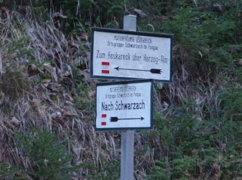
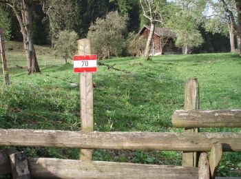
• Trail created by TVB St. Veit - Schwarzach. Symbol: rot-weiss-rot 43
On foot
• Trail created by TVB St. Veit - Schwarzach. Symbol: rot-weiss-rot 45
On foot
• Trail created by Seelackenmuseum. Symbol: braune Tafeln mit weißer Schrift
On foot
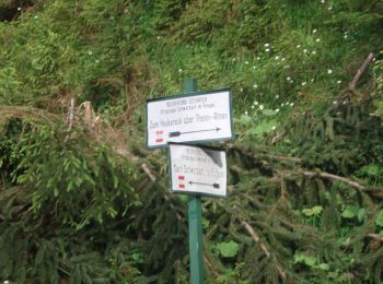
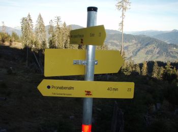
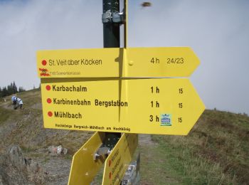
• Trail created by TVB St. Veit - Schwarzach. Symbol: rot-weiss-rot 23c
On foot
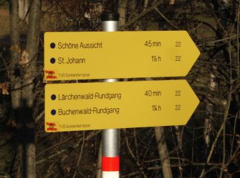
• Trail created by TVB St. Veit - Schwarzach. Symbol: rot-weiss-rot 27a
On foot
• Trail created by TVB St. Veit - Schwarzach. Symbol: rot-weiss-rot 27
On foot
• Trail created by TVB St. Veit - Schwarzach. Symbol: rot-weiss-rot 24
On foot
• Trail created by TVB St. Veit - Schwarzach. Symbol: rot-weiss-rot 23b

On foot
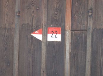
• Trail created by TVB St. Veit - Schwarzach. Symbol: rot-weiss-rot 23

On foot
• Trail created by TVB St. Veit - Schwarzach. Symbol: rot-weiss-rot 23a
10 trails displayed on 10
FREE GPS app for hiking
 SityTrail
IGN / Geographical institutes
SityTrail World
The world is yours!