


9 km | 14,3 km-effort
Auvergne-Rhone-Alpen : Entdecken Sie die besten Touren : 57.948 zu Fuß, 10.939 mit dem Fahrrad oder Mountainbike und 3.259 auf dem Pferderücken. Alle diese Touren, Trails, Routen und Outdoor-Aktivitäten sind in unseren SityTrail-Apps für Smartphones und Tablets verfügbar.
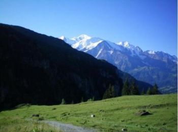
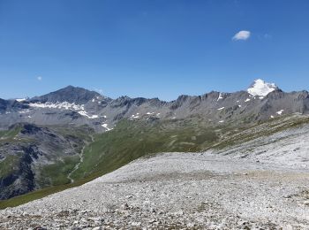
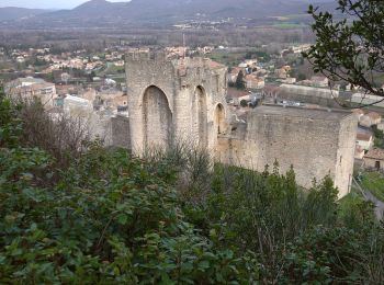
Wandern


Mountainbike
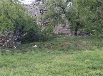
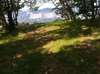
Wandern
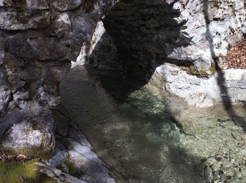
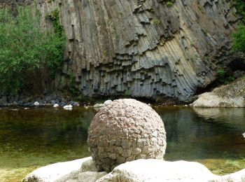
Wandern
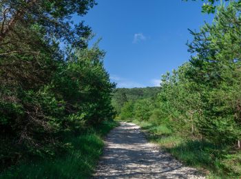
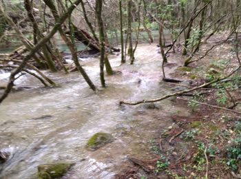
Wandern
Wandern
Wandern
Wandern
Wandern
Wandern
Wandern
• Le Rouvergue
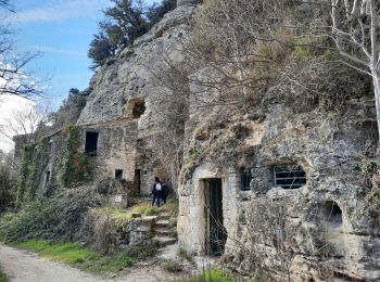
Zu Fuß
• Trail created by CD63.
Wandern
Wandern
Wandern
Wandern
Wandern

Wandern
Wandern
Wandern
20 Angezeigte Touren bei 81954
Kostenlosegpshiking-Anwendung
 SityTrail
IGN / Geografische Institute
SityTrail World
Die Welt öffnet sich für Sie