


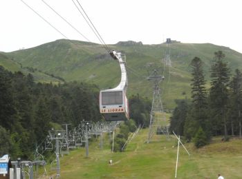
8,2 km | 14,2 km-effort
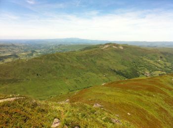
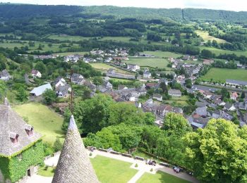
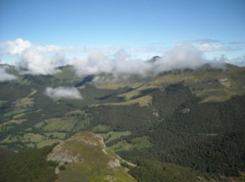
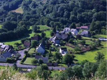
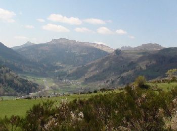
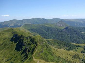
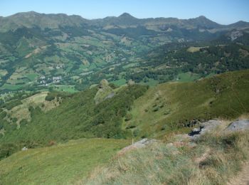
Cantal : Entdecken Sie die besten Touren : 1.774 zu Fuß, 412 mit dem Fahrrad oder Mountainbike und 76 auf dem Pferderücken. Alle diese Touren, Trails, Routen und Outdoor-Aktivitäten sind in unseren SityTrail-Apps für Smartphones und Tablets verfügbar.
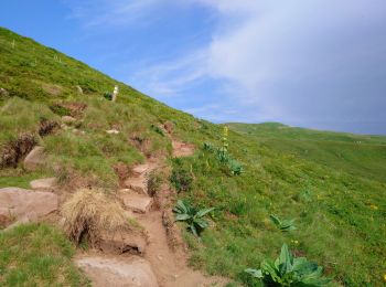
Wandern


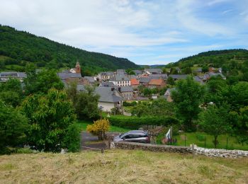
Wandern
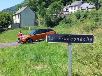
Wandern
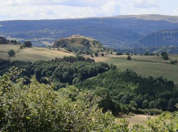
Wandern
Wandern
Wandern
Wandern
Wandern
Wandern
Wandern
Wandern
Wandern
Mountainbike
• de montsalvy aux cazottes par chausy puis les grivaldes moledes et pons pour remonter par riols
Wandern
•
Andere Aktivitäten
• Neroonne-col de Légal par Chavaroche
Wandern
Wandern
Wandern
Wandern
Wandern
20 Angezeigte Touren bei 2446
Kostenlosegpshiking-Anwendung
 SityTrail
IGN / Geografische Institute
SityTrail World
Die Welt öffnet sich für Sie