


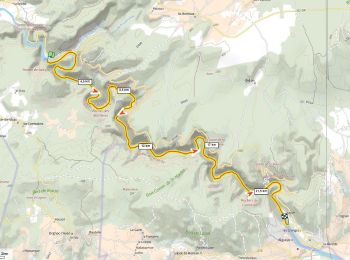
25 km | 35 km-effort
Auvergne-Rhone-Alpen : Entdecken Sie die besten Touren : 8 motorboot, 4 segelboot, 40 kanufahren - kajakfahren, 3 schwimmen und 2 rudern. Alle diese Touren, Trails, Routen und Outdoor-Aktivitäten sind in unseren SityTrail-Apps für Smartphones und Tablets verfügbar.
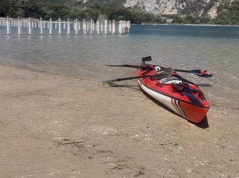
Kanufahren - Kajakfahren


• Temps donné pour l entièreté de la balade pause comprise (environ 1h30). Très beau paysage, de nombreux oiseaux et ...
Kanufahren - Kajakfahren
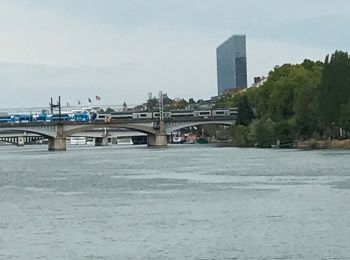
Motorboot

Kanufahren - Kajakfahren
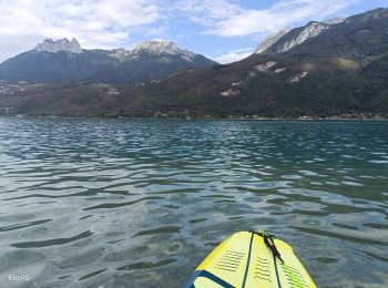
Schwimmen
Kanufahren - Kajakfahren
Kanufahren - Kajakfahren
Kanufahren - Kajakfahren
Rudern
Kanufahren - Kajakfahren
Kanufahren - Kajakfahren
Kanufahren - Kajakfahren
Segelboot
Kanufahren - Kajakfahren
Kanufahren - Kajakfahren
Kanufahren - Kajakfahren
Kanufahren - Kajakfahren
Kanufahren - Kajakfahren
Kanufahren - Kajakfahren
Kanufahren - Kajakfahren
20 Angezeigte Touren bei 57
Kostenlosegpshiking-Anwendung
 SityTrail
IGN / Geografische Institute
SityTrail World
Die Welt öffnet sich für Sie