
Landkreis Nürnberger Land, Bayern: Die besten Touren, Trails, Trecks und Wanderungen
Landkreis Nürnberger Land : Entdecken Sie die besten Touren : 237 zu Fuß. Alle diese Touren, Trails, Routen und Outdoor-Aktivitäten sind in unseren SityTrail-Apps für Smartphones und Tablets verfügbar.
Die besten Spuren (237)
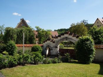
Km
Zu Fuß


• Trail created by Gemeinde Kirchensittenbach. geprüft (März 2015, by cycling_zno) Symbol: t.b.d.
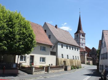
Km
Zu Fuß


• Trail created by Gemeinde Kirchensittenbach. geprüft (März 2015, by cycling_zno) Symbol: t.b.d.
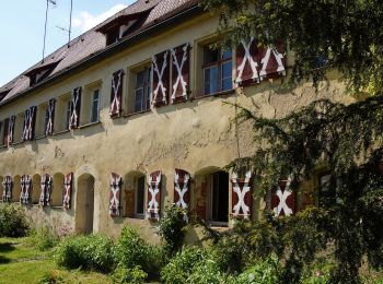
Km
Zu Fuß


• Trail created by Gemeinde Kirchensittenbach. geprüft (März 2015, by cycling_zno) Symbol: t.b.d.

Km
Zu Fuß


• Trail created by Gemeinde Kirchensittenbach. geprüft (März 2015, by cycling_zno) Symbol: t.b.d.
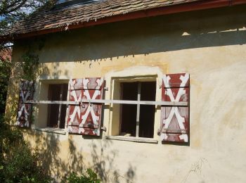
Km
Zu Fuß


• Trail created by Gemeinde Kirchensittenbach. geprüft (März 2015, by cycling_zno) Symbol: t.b.d.
Km
Zu Fuß


• Trail created by Gemeinde Kirchensittenbach. geprüft (März 2015, by cycling_zno) Symbol: Grüner Punkt auf weissen G...
Km
Zu Fuß


• Symbol: 1000hmr in weißer Schrift auf rotem Grund

Km
Zu Fuß


• Trail created by Naturfreunde Pommelsbrunn. geprüft (Feb. 2015 cy cycling_zno) Symbol: 1000hmr in weißer Schrift au...
Km
Zu Fuß


• Trail created by Stadt Altdorf. Symbol: Blauer Wallenstein und Altdorf auf gelbem Grund
Km
Zu Fuß


• Trail created by DSV nordic aktiv Zentrum Happurg. Symbol: t.b.d.
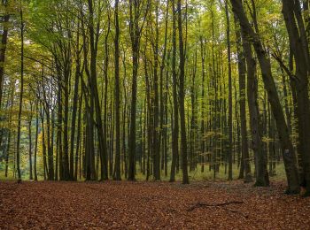
Km
Zu Fuß


• Trail created by DSV nordic aktiv Zentrum Happurg. Symbol: t.b.d.
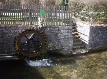
Km
Zu Fuß


• Trail created by DSV nordic aktiv Zentrum Happurg. Symbol: t.b.d.
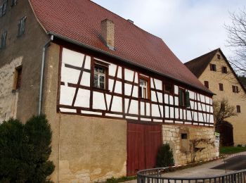
Km
Zu Fuß


• Trail created by DSV nordic aktiv Zentrum Happurg. Symbol: t.b.d.
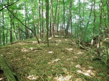
Km
Zu Fuß


• Trail created by Gemeinde Happurg. geprüft (Dez. 2014, by cycling_zno) Symbol: Schwarzes Geo auf gelbem Grund
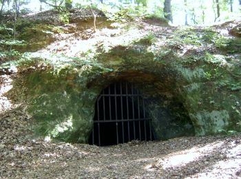
Km
Zu Fuß


• Trail created by Deutscher Volkssportverband. geprüft (März 2015, by cycling_zno) Symbol: DVV mit Pfeil auf weißem ...
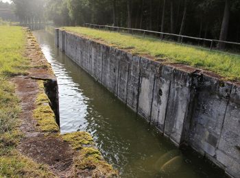
Km
Zu Fuß


• Trail created by Gemeinde Schwarzenbruck. geprüft (März 2015, by cycling_zno) Symbol: Blaue Tafeln
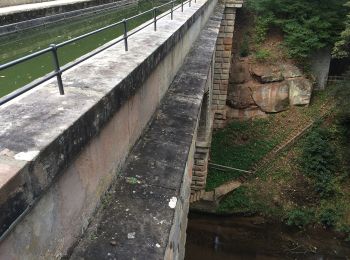
Km
Zu Fuß


• Trail created by Markt Wendelstein. abgeschlossen (Nov. 2013 by cycling_zno) Symbol: Weiße 1 auf blauem Grund
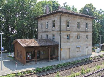
Km
Zu Fuß


• Trail created by TSV Rückersdorf. geprüft (März 2015, by cycling_zno) Symbol: weißer Kreis mit Walker, Wanderer, Lä...

Km
Zu Fuß


• Trail created by Stadt Lauf a.d.Pegnitz. geprüft (März 2015, by cycling_zno) Symbol: gelber Punkt mit schwarzen Pfeil

Km
Zu Fuß


• Trail created by Stadt Lauf a.d.Pegnitz. geprüft (März 2015, by cycling_zno) Symbol: hellgrüner Punkt
20 Angezeigte Touren bei 237
Kostenlosegpshiking-Anwendung
Aktivitäten
Nahegelegene Regionen
- Alfeld
- Altdorf bei Nürnberg
- Behringersdorfer Forst
- Brunn
- Burgthann
- Engelthal
- Feucht
- Feuchter Forst
- Günthersbühler Forst
- Haimendorfer Forst
- Happurg
- Hartenstein
- Henfenfeld
- Hersbruck
- Kirchensittenbach
- Lauf an der Pegnitz
- Laufamholzer Forst
- Leinburg
- Neuhaus a.d.Pegnitz
- Neunkirchen a. Sand
- Offenhausen
- Pommelsbrunn
- Reichenschwand
- Röthenbach an der Pegnitz
- Rückersdorf
- Rückersdorfer Forst
- Schnaittach
- Schönberg
- Schwaig bei Nürnberg
- Schwarzenbruck
- Simmelsdorf
- Velden
- Vorra
- Winkelhaid
- Zerzabelshofer Forst


 SityTrail


