Trail Walking Maing - Circuit du Pas de Boeuf - Photo

Circuit du Pas de Boeuf

 corsinou
corsinou

User

© OpenStreetMap contributors
Length
Length
14.1 km
Max alt
Max alt
91 m
Uphill gradient
Uphill gradient
134 m
Km-Effort
Km-Effort  
15.8 km
Min alt
Min alt
48 m
Downhill gradient
Downhill gradient
134 m
Boucle
Boucle
Yes
Creation date :
2015-04-20 00:00:00.0
Updated on :
2015-04-20 00:00:00.0

(0 Reviews)

Walking
Walking
3h30
Difficulty : Easy

Scan this QR Code to open this trail in the SityTrail application

FREE GPS app for hiking

Logo SityTrail SityTrail

IGN / Geographical institutes

Download SityTrail from the App Store Download SityTrail from Google Play

Logo SityTrail SityTrail World

The world is yours!

Download SityTrail from the App Store Download SityTrail from Google Play Download SityTrail on Huawei AppGallery

About

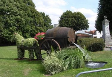
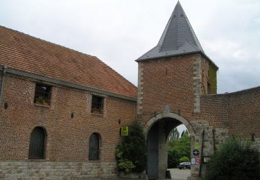
Trail Walking of 14.1 km to be discovered at Hauts-de-France, Nord, Maing. This trail is proposed by corsinou.

Description

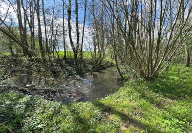
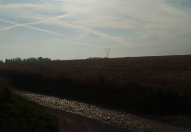
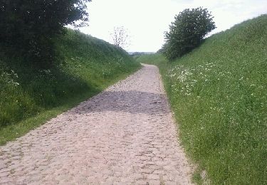
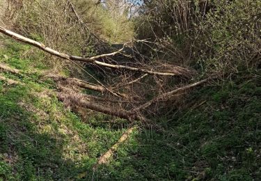
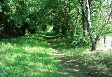
Ce circuit au départ du Cimetière de Maing, sillonne les Fonds de Verchain, la cavée de Quérénaing, puis emprunte le Chemin du Trou au Renard pour rallier le village de Maing

Elevation profile

Positioning

Country:
France
Region :
Hauts-de-France
Department/Province :
Nord
Municipality :
Maing
Location:
Unknown
Start:(UTM)
534404 ; 5572337 (31U) N.

Trails nearby

Trail Mountain bike Wavrechain-sous-Denain - Direction Le Quesnoy - Denain - Photo
Mountain bike
tracegps

Mountain bike

Medium
(1)
Wavrechain-sous-Denain, Hauts-de-France, Nord, France
63 km | 70 km-effort
3h 0min
Yes
Trail Walking Vendegies-sur-Écaillon - Vendegies sur Ecaillon - Menhir 16,8 k - Photo
Walking
GUIDE
rvapeldo

Walking

Medium
Vendegies-sur-Écaillon, Hauts-de-France, Nord, France
16.8 km | 19.5 km-effort
4h 51min
Yes
Trail Walking Quérénaing - la querenaingeoise trace faite - Photo
Walking
papiou

Walking

Very easy
Quérénaing, Hauts-de-France, Nord, France
9.1 km | 10.2 km-effort
1h 33min
Yes
Trail Mountain bike Wavrechain-sous-Denain - Entre les canaux de la Scarpe et l'Escaut - Wavrechain-sous-Denain  - Photo
Mountain bike
tracegps

Mountain bike

Medium
Wavrechain-sous-Denain, Hauts-de-France, Nord, France
53 km | 57 km-effort
2h 30min
Yes
Trail Mountain bike Maing - boucle autour de Maing - Photo
Mountain bike
Obeone2264

Mountain bike

Medium
Maing, Hauts-de-France, Nord, France
16.5 km | 18.1 km-effort
2h 0min
Yes
Trail Walking Maing - Maing-circuit pas de boeuf, version 11km - Photo
Walking
papiou

Walking

Medium
Maing, Hauts-de-France, Nord, France
11.2 km | 12.5 km-effort
2h 32min
Yes
Trail Mountain bike Wavrechain-sous-Denain - Sortie VTT Porte du Hainaut - Wavrechain sous Denain - Photo
Mountain bike
tracegps

Mountain bike

Easy
Wavrechain-sous-Denain, Hauts-de-France, Nord, France
54 km | 58 km-effort
2h 30min
Yes
Trail Walking Aulnoy-lez-Valenciennes - La vallée de la Rhonelle - Aulnoy-lez-Valenciennes - Photo
Walking
tracegps

Walking

Medium
Aulnoy-lez-Valenciennes, Hauts-de-France, Nord, France
9.9 km | 11 km-effort
2h 30min
Yes
Trail Walking Vendegies-sur-Écaillon - Circuit des Larris - Vendegies-sur-Ecaillon - Photo
Walking
tracegps

Walking

Difficult
Vendegies-sur-Écaillon, Hauts-de-France, Nord, France
16.3 km | 19 km-effort
4h 0min
Yes


Close
My subscriptions