


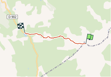

4,5 km | 6,1 km-effort


Gebruiker


Gratisgps-wandelapplicatie
 SityTrail
IGN / Geografische instituten
SityTrail World
De wereld gaat voor u open
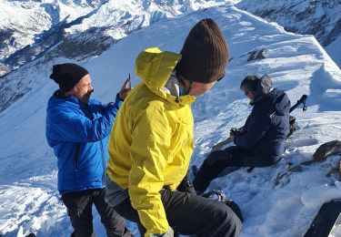
Tocht Andere activiteiten van 3,2 km beschikbaar op Provence-Alpes-Côte d'Azur, Alpes-de-Haute-Provence, Saint-Paul-sur-Ubaye. Deze tocht wordt voorgesteld door motardes04.
26/03/2017 Qué gavade !!! dommage que les requins continuent à frotter sous les skis. les 80 de poudre sous le sommet sont lourds, puis s'allègent, ouahhhh !!!!

Stappen

Stappen

Stappen

Stappen

Andere activiteiten
Elektrische fiets
Stappen
Stappen
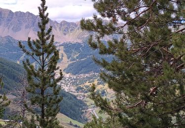
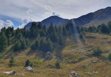
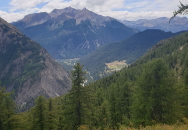
Ski randonnée