


8,7 km | 18 km-effort
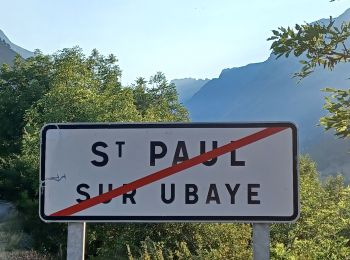
Saint-Paul-sur-Ubaye: Ontdek de beste tochten: 254 te voet en 8 met de fiets of mountainbike. Al deze tochten, trajecten, routes en outdoor activiteiten zijn beschikbaar in onze SityTrail-apps voor smartphones en tablets.
Stappen


Stappen
Stappen
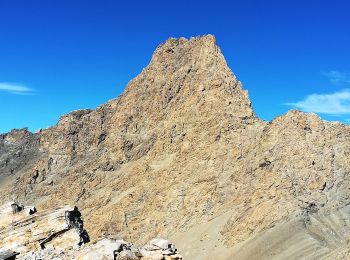
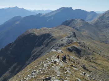
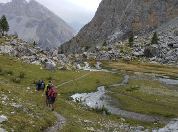
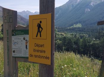
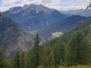
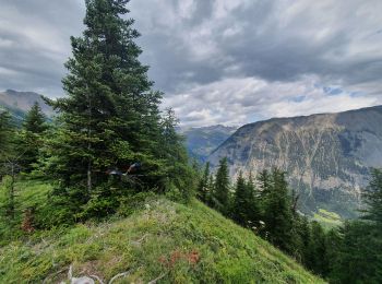
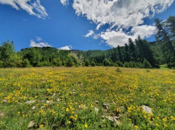
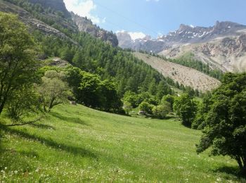
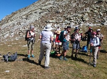
Te voet
• Symbol: red bar on blue background
Stappen
• Se garer vers la cote 1720 à la Blachière sur la route qui monte à Maljasset. Un sentier très raide dès le départ rem...

Andere activiteiten
• Jeudi 15 sommet du massour avec bivouac
Stappen
Stappen
Stappen
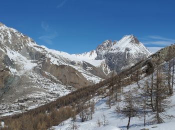
Sneeuwschoenen
Ski randonnée
Stappen
Stappen
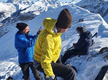
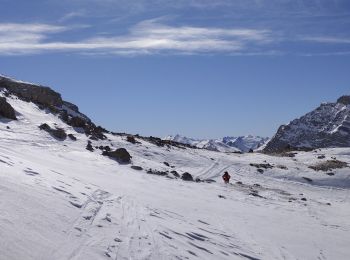
Ski randonnée
Stappen
Stappen
Stappen
Stappen
• souvent hors piste le debut sentier cairne
Stappen
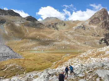
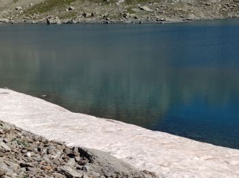
• Par les lacs de Marinet
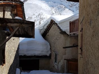
Sneeuwschoenen
• Arrêt à la bergerie inférieure à cause du vent froid. Descente dans 50 cm de poudreuse entre les mélèzes.
20 tochten weergegeven op 328
Gratisgps-wandelapplicatie
 SityTrail
IGN / Geografische instituten
SityTrail World
De wereld gaat voor u open