


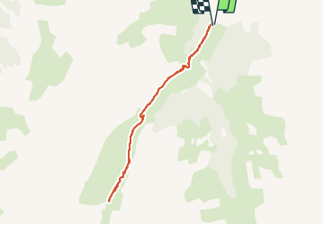

7,7 km | 13,7 km-effort

Gebruiker


Gratisgps-wandelapplicatie
 SityTrail
IGN / Geografische instituten
SityTrail World
De wereld gaat voor u open
Tocht Noords wandelen van 7,5 km beschikbaar op Provence-Alpes-Côte d'Azur, Hautes-Alpes, Les Orres. Deze tocht wordt voorgesteld door Gegetop.
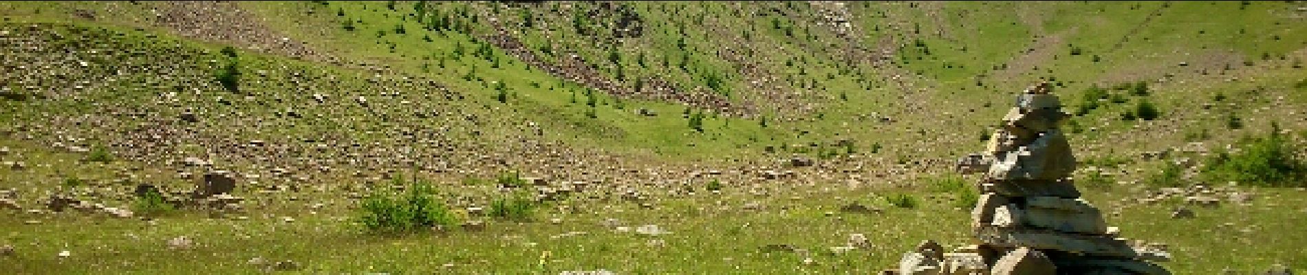
Petite rando sympa dans un cadre sauvage et encaissé où les marmottes sont nombreuses.


Stappen

Stappen

Stappen

Mountainbike

Stappen

Stappen

Stappen

Ski randonnée

Sneeuwschoenen